Mohr night lights from space
Night Light of Mohr (Fars) from space (Iran) Src. Average luminocity for 10x10km area is 23.7599% and for 50x50km: 22.0062%.
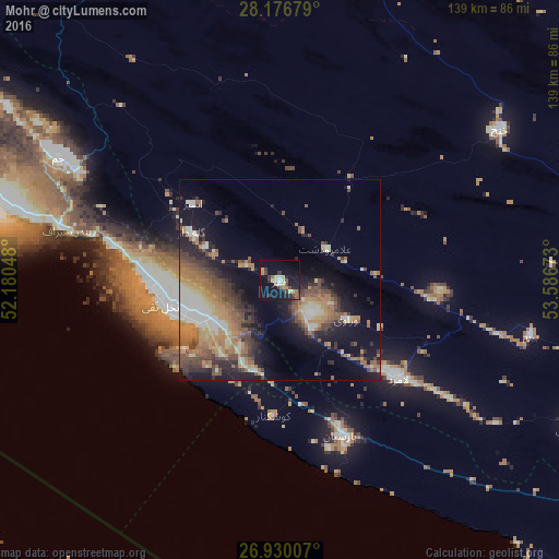
Analysis of Mohr night lights 2016
Square area 10x10 km:
 1.98%
1.98%90-99
2.38%80-89
3.57%70-79
3.57%60-69
2.78%50-59
1.98%40-49
2.38%30-39
7.54%20-29
3.17%10-19
29.37%0-9
41.27%Square area 50x50 km:
2.05%90-99
3.02%80-89
2.36%70-79
3.45%60-69
5.15%50-59
3.81%40-49
4.23%30-39
3.59%20-29
4.7%10-19
11.71%0-9
55.93%Clear (daylight) street map image can be seen on geolist.org.
Map coordinates:
28° 10' 36.4" North, 52° 10' 49.7" East
27° 33' 18.7" North, 52° 53' 1" East
26° 55' 48.3" North, 53° 35' 12.2" East
Some cities around Mohr sort by population:
• Akbarābād
188.3 km =117 mi,  356°
356°
• Fasā
171.1 km =106.3 mi,  25°
25°
• Fīrūzābād
146.5 km =91 mi,  347°
347°
• Dārāb
210.3 km =130.7 mi,  50°
50°
• Gerāsh
124 km =77.1 mi,  84°
84°
• Bandar-e Lengeh
226.7 km =140.9 mi,  119°
119°
• Kīsh
158 km =98.2 mi,  134°
134°
• Madīnat ash Shamāl, QA
230.2 km =143 mi,  226°
226°
123485 (p: 35,000)
Sources (retrieved 2019-11-25):
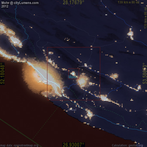
» Earth at Night: Flat Maps 2012, 2016