Kīsh night lights from space
Night Light of Kīsh (Hormozgan) from space (Iran) Src. Average luminocity for 10x10km area is 57.8466% and for 50x50km: 5.6346%.
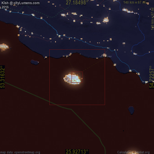
Analysis of Kīsh night lights 2016
Square area 10x10 km:
 16.29%
90-99
18.18%80-89
6.06%70-79
2.46%60-69
4.17%50-59
7.58%40-49
4.73%30-39
7.77%20-29
9.66%10-19
17.23%0-9
5.87%Square area 50x50 km:
1.09%90-99
1.13%80-89
0.49%70-79
0.38%60-69
1%50-59
0.74%40-49
0.63%30-39
0.59%20-29
1.27%10-19
3.87%0-9
88.8%Clear (daylight) street map image can be seen on geolist.org.
Map coordinates:
27° 11' 5.9" North, 53° 18' 58.8" East
26° 33' 28" North, 54° 1' 10" East
25° 55' 37.7" North, 54° 43' 21.3" East
Some cities around Kīsh sort by population:
• Dubai, AE
209.2 km =130 mi,  141°
141°
• Sharjah, AE
194.4 km =120.8 mi,  134°
134°
• Ajman City, AE
194.4 km =120.8 mi, 131°
• Ras Al Khaimah City, AE
210.1 km =130.6 mi,  113°
113°
• Umm Al Quwain City, AE
189 km =117.4 mi, 125°
• Mohr
158 km =98.2 mi,  314°
314°
• Gerāsh
124.2 km =77.2 mi,  5°
5°
• Bandar-e Lengeh
85.7 km =53.3 mi,  89°
89°
126914 (p: 20,922)
Sources (retrieved 2019-11-25):
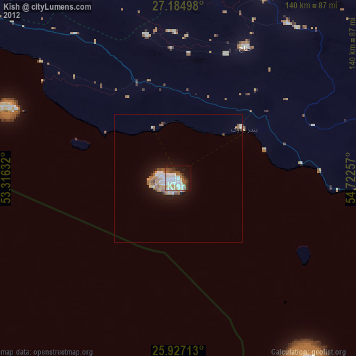
» Earth at Night: Flat Maps 2012, 2016