Dārāb night lights from space
Night Light of Dārāb (Fars) from space (Iran) Src. Average luminocity for 10x10km area is 47.3447% and for 50x50km: 6.7852%.
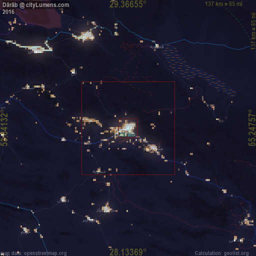
Analysis of Dārāb night lights 2016
Square area 10x10 km:
 9.28%
9.28%90-99
11.17%80-89
2.08%70-79
6.44%60-69
7.58%50-59
5.3%40-49
5.3%30-39
5.11%20-29
20.08%10-19
26.14%0-9
1.52%Square area 50x50 km:
0.53%90-99
0.77%80-89
0.48%70-79
0.91%60-69
1.43%50-59
1.26%40-49
0.9%30-39
0.98%20-29
1.41%10-19
5.54%0-9
85.79%Clear (daylight) street map image can be seen on geolist.org.
Map coordinates:
29° 21' 59.6" North, 53° 50' 28.8" East
28° 45' 7" North, 54° 32' 40" East
28° 8' 1.3" North, 55° 14' 51.3" East
Some cities around Dārāb sort by population:
• Sirjan
135 km =83.9 mi,  54°
54°
• Akbarābād
180.2 km =112 mi,  287°
287°
• Fasā
89.7 km =55.7 mi,  283°
283°
• Fīrūzābād
192.6 km =119.7 mi,  273°
273°
• Shahr-e Bābak
161.6 km =100.4 mi,  20°
20°
• Neyrīz
54 km =33.6 mi,  337°
337°
• Pāsārgād
208.4 km =129.5 mi,  320°
320°
• Gerāsh
126.8 km =78.8 mi,  198°
198°
137956 (p: 63,319)
Sources (retrieved 2019-11-25):
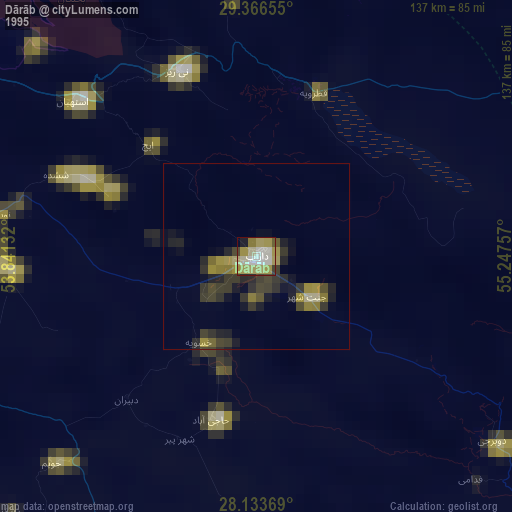
» NASA, Earths city lights 1995
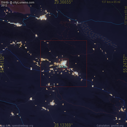
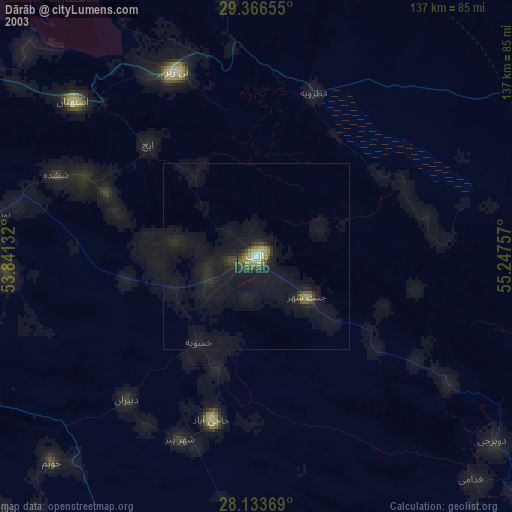
» NASA city lights 2003
» Earth at Night: Flat Maps 2012, 2016