Fīrūzābād night lights from space
Night Light of Fīrūzābād (Fars) from space (Iran) Src. Average luminocity for 10x10km area is 38.5701% and for 50x50km: 3.4183%.
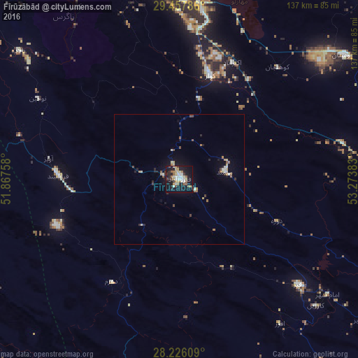
Analysis of Fīrūzābād night lights 2016
Square area 10x10 km:
 7.01%
7.01%90-99
6.44%80-89
6.06%70-79
4.73%60-69
4.92%50-59
3.41%40-49
4.36%30-39
1.7%20-29
9.47%10-19
43.37%0-9
8.52%Square area 50x50 km:
0.38%90-99
0.51%80-89
0.4%70-79
0.37%60-69
0.52%50-59
0.31%40-49
0.47%30-39
0.28%20-29
0.78%10-19
2.82%0-9
93.15%Clear (daylight) street map image can be seen on geolist.org.
Map coordinates:
29° 27' 28.3" North, 51° 52' 3.3" East
28° 50' 37.7" North, 52° 34' 14.5" East
28° 13' 33.9" North, 53° 16' 25.8" East
Some cities around Fīrūzābād sort by population:
• Shiraz
85.3 km =53 mi,  357°
357°
• Marvdasht
116.8 km =72.6 mi,  11°
11°
• Akbarābād
49.1 km =30.5 mi,  24°
24°
• Fasā
105.4 km =65.5 mi,  84°
84°
• Kāzerūn
123.9 km =77 mi,  314°
314°
• Borāzjān
139.7 km =86.8 mi,  289°
289°
• Mohr
146.5 km =91 mi,  167°
167°
• Pāsārgād
162.1 km =100.7 mi, 21°
134518 (p: 66,558)
Sources (retrieved 2019-11-25):
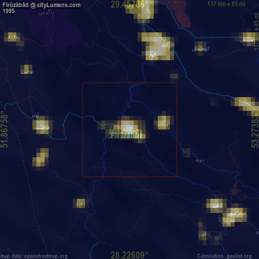
» NASA, Earths city lights 1995
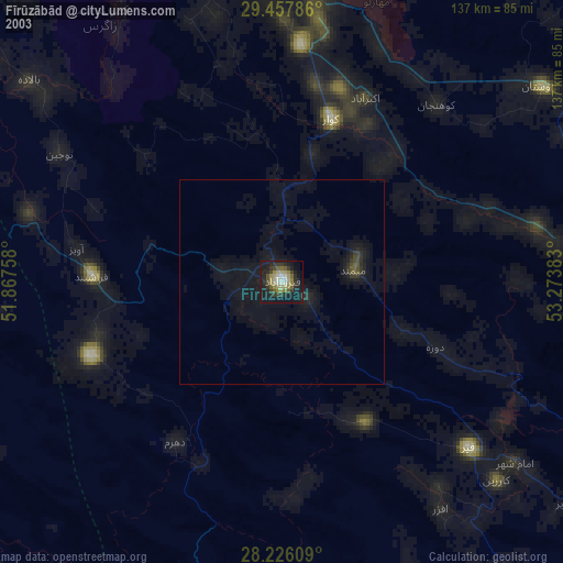
» NASA city lights 2003
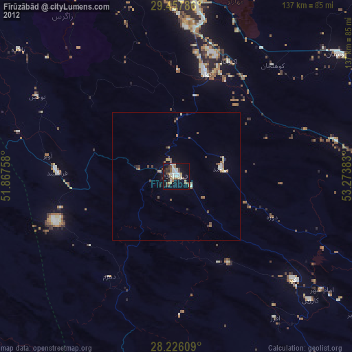
» Earth at Night: Flat Maps 2012, 2016