Fasā night lights from space
Night Light of Fasā (Fars) from space (Iran) Src. Average luminocity for 10x10km area is 52.2579% and for 50x50km: 4.8765%.
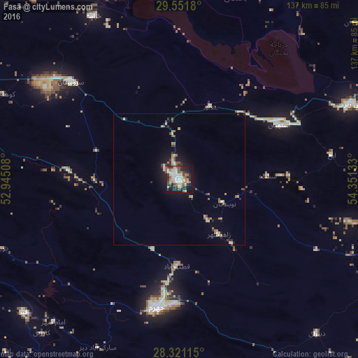
Analysis of Fasā night lights 2016
Square area 10x10 km:
 12.3%
12.3%90-99
13.29%80-89
4.76%70-79
3.37%60-69
9.52%50-59
4.17%40-49
6.75%30-39
5.95%20-29
16.07%10-19
22.82%0-9
0.99%Square area 50x50 km:
0.55%90-99
0.87%80-89
0.54%70-79
0.5%60-69
0.72%50-59
0.57%40-49
0.55%30-39
0.66%20-29
1.19%10-19
3.17%0-9
90.68%Clear (daylight) street map image can be seen on geolist.org.
Map coordinates:
29° 33' 6.5" North, 52° 56' 42.3" East
28° 56' 17.9" North, 53° 38' 53.5" East
28° 19' 16.1" North, 54° 21' 4.8" East
Some cities around Fasā sort by population:
• Shiraz
131.6 km =81.8 mi,  304°
304°
• Marvdasht
132.4 km =82.3 mi,  321°
321°
• Akbarābād
91.1 km =56.6 mi,  292°
292°
• Fīrūzābād
105.4 km =65.5 mi,  264°
264°
• Dārāb
89.7 km =55.7 mi,  103°
103°
• Neyrīz
72.1 km =44.8 mi,  66°
66°
• Pāsārgād
147.6 km =91.7 mi,  342°
342°
• Gerāsh
148.9 km =92.5 mi,  161°
161°
134721 (p: 98,061)
Sources (retrieved 2019-11-25):
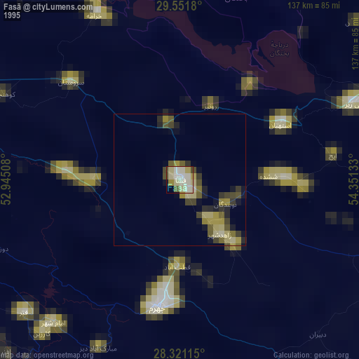
» NASA, Earths city lights 1995
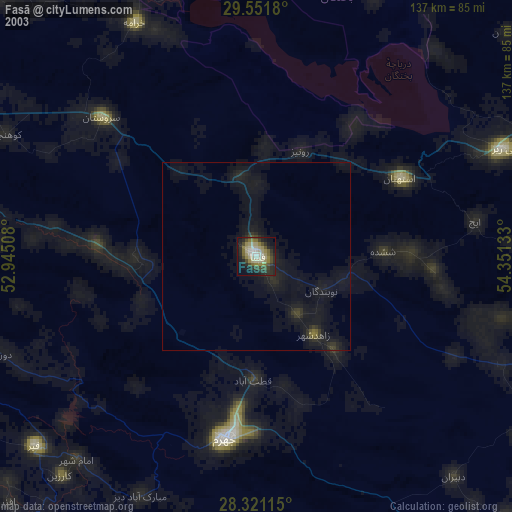
» NASA city lights 2003
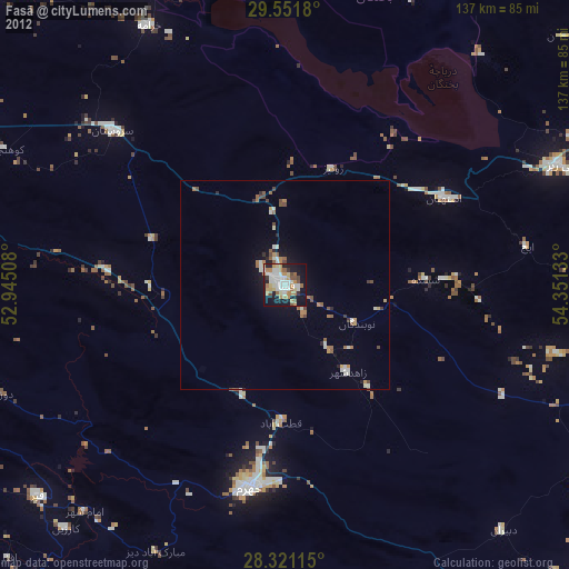
» Earth at Night: Flat Maps 2012, 2016