Gerāsh night lights from space
Night Light of Gerāsh (Fars) from space (Iran) Src. Average luminocity for 10x10km area is 34.4246% and for 50x50km: 6.7392%.
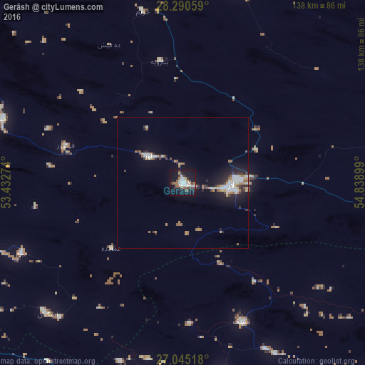
Analysis of Gerāsh night lights 2016
Square area 10x10 km:
 7.74%
7.74%90-99
6.55%80-89
0.79%70-79
2.98%60-69
4.37%50-59
3.97%40-49
6.94%30-39
3.97%20-29
4.76%10-19
43.85%0-9
14.09%Square area 50x50 km:
1.1%90-99
1.03%80-89
0.57%70-79
0.8%60-69
0.92%50-59
0.76%40-49
0.7%30-39
0.8%20-29
1.54%10-19
5.81%0-9
85.96%Clear (daylight) street map image can be seen on geolist.org.
Map coordinates:
28° 17' 26.1" North, 53° 25' 57.9" East
27° 40' 10.8" North, 54° 8' 9.1" East
27° 2' 42.6" North, 54° 50' 20.4" East
Some cities around Gerāsh sort by population:
• Bandar Abbas
218.4 km =135.7 mi,  104°
104°
• Fasā
148.9 km =92.5 mi,  341°
341°
• Fīrūzābād
201.3 km =125.1 mi,  310°
310°
• Dārāb
126.8 km =78.8 mi,  18°
18°
• Neyrīz
171.1 km =106.3 mi,  6°
6°
• Mohr
124 km =77.1 mi,  264°
264°
• Bandar-e Lengeh
143.9 km =89.4 mi,  149°
149°
• Kīsh
124.2 km =77.2 mi,  185°
185°
133595 (p: 25,316)
Sources (retrieved 2019-11-25):
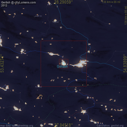
» Earth at Night: Flat Maps 2012, 2016