Akbarābād night lights from space
Night Light of Akbarābād (Fars) from space (Iran) Src. Average luminocity for 10x10km area is 26.2424% and for 50x50km: 10.5235%.
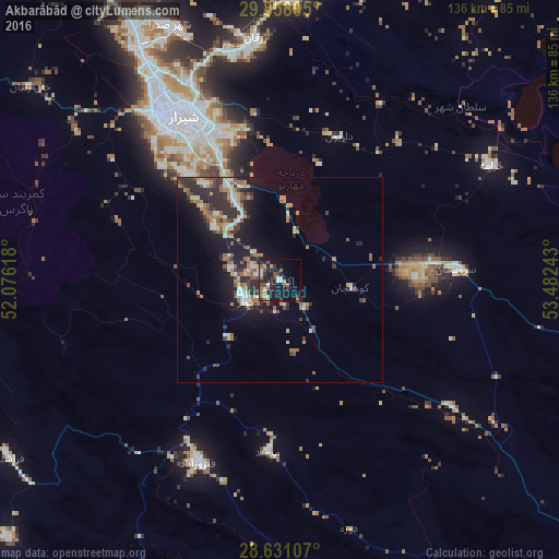
Analysis of Akbarābād night lights 2016
Square area 10x10 km:
 1.33%
1.33%90-99
5.11%80-89
1.52%70-79
1.89%60-69
5.11%50-59
4.73%40-49
4.36%30-39
4.17%20-29
8.71%10-19
28.41%0-9
34.66%Square area 50x50 km:
0.83%90-99
1.68%80-89
0.91%70-79
1.11%60-69
1.96%50-59
1.75%40-49
1.38%30-39
1.98%20-29
4.07%10-19
7.6%0-9
76.72%Clear (daylight) street map image can be seen on geolist.org.
Map coordinates:
29° 51' 29" North, 52° 4' 34.2" East
29° 14' 47" North, 52° 46' 45.5" East
28° 37' 51.9" North, 53° 28' 56.7" East
Some cities around Akbarābād sort by population:
• Shiraz
47.1 km =29.3 mi,  329°
329°
• Marvdasht
69.8 km =43.4 mi,  1°
1°
• Fasā
91.1 km =56.6 mi,  112°
112°
• Kāzerūn
116.6 km =72.5 mi,  290°
290°
• Borāzjān
151.4 km =94.1 mi,  270°
270°
• Fīrūzābād
49.1 km =30.5 mi,  204°
204°
• Neyrīz
150.4 km =93.5 mi,  92°
92°
• Pāsārgād
113.1 km =70.3 mi,  20°
20°
144410 (p: 98,342)
Sources (retrieved 2019-11-25):
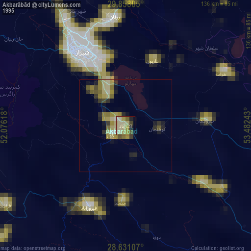
» NASA, Earths city lights 1995
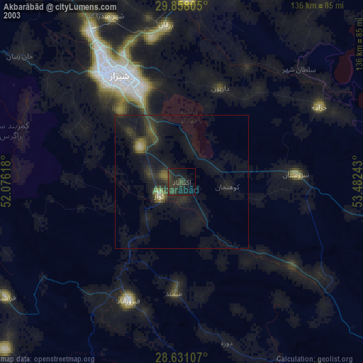
» NASA city lights 2003
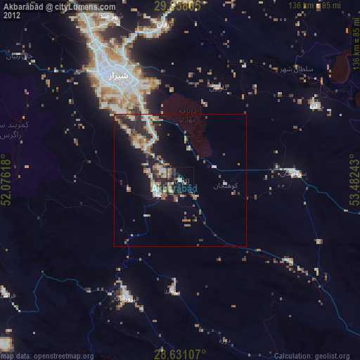
» Earth at Night: Flat Maps 2012, 2016