Kangāvar night lights from space
Night Light of Kangāvar (Kermānshāh) from space (Iran) Src. Average luminocity for 10x10km area is 28.4178% and for 50x50km: 4.0207%.
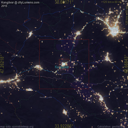
Analysis of Kangāvar night lights 2016
Square area 10x10 km:
 3.5%
3.5%90-99
5.24%80-89
2.62%70-79
2.62%60-69
2.62%50-59
5.07%40-49
4.37%30-39
4.55%20-29
3.67%10-19
42.48%0-9
23.25%Square area 50x50 km:
0.18%90-99
0.37%80-89
0.47%70-79
0.5%60-69
0.57%50-59
0.6%40-49
0.89%30-39
0.85%20-29
0.83%10-19
2.75%0-9
92%Clear (daylight) street map image can be seen on geolist.org.
Map coordinates:
35° 4' 54.2" North, 47° 15' 43.8" East
34° 30' 15.5" North, 47° 57' 55.1" East
33° 55' 22.3" North, 48° 40' 6.3" East
Some cities around Kangāvar sort by population:
• Pasragad Branch
55.4 km =34.4 mi,  56°
56°
• Hamadān
60 km =37.3 mi, 56°
• Nahāvand
51.2 km =31.8 mi,  132°
132°
• Nūrābād
47.9 km =29.8 mi,  179°
179°
• Asadābād
34 km =21.1 mi,  24°
24°
• Harsīn
43.3 km =26.9 mi,  233°
233°
• Sonqor
45.5 km =28.3 mi,  312°
312°
• Bahār
62.5 km =38.8 mi,  44°
44°
128831 (p: 53,414)
Sources (retrieved 2019-11-25):
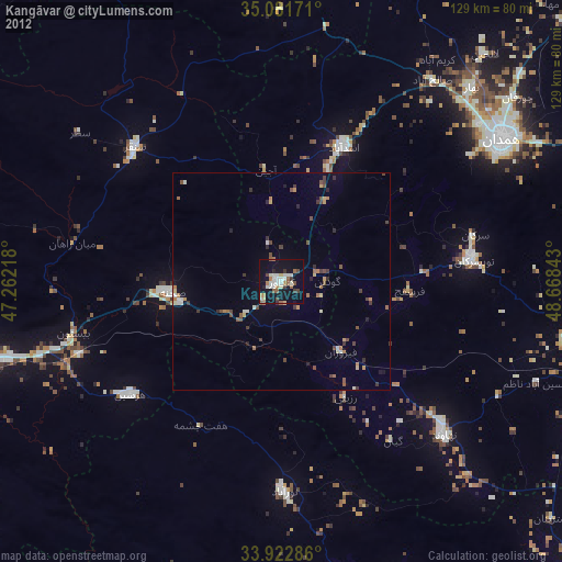
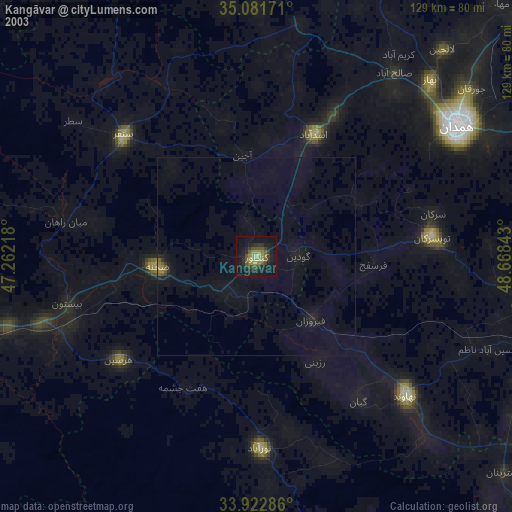
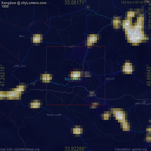
» NASA, Earths city lights 1995
» NASA city lights 2003
» Earth at Night: Flat Maps 2012, 2016