Nahāvand night lights from space
Night Light of Nahāvand (Hamadān) from space (Iran) Src. Average luminocity for 10x10km area is 36.4194% and for 50x50km: 5.9815%.
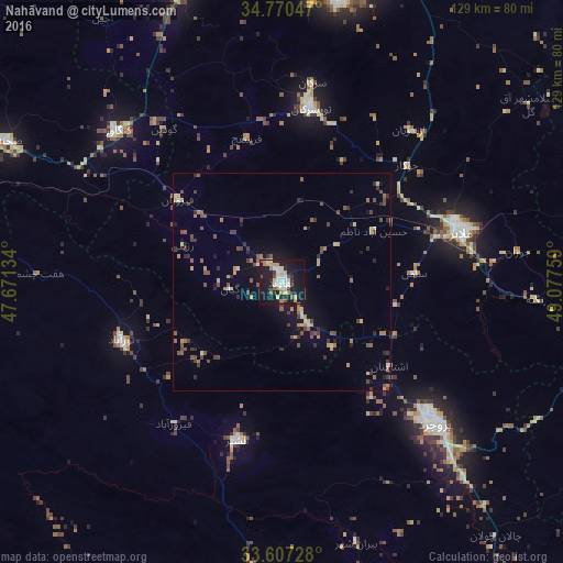
Analysis of Nahāvand night lights 2016
Square area 10x10 km:
 4.58%
4.58%90-99
8.97%80-89
5.49%70-79
3.85%60-69
3.85%50-59
3.66%40-49
1.83%30-39
3.3%20-29
8.79%10-19
45.79%0-9
9.89%Square area 50x50 km:
0.22%90-99
0.63%80-89
0.75%70-79
0.78%60-69
0.77%50-59
1.15%40-49
1.14%30-39
1.2%20-29
1.17%10-19
3.98%0-9
88.2%Clear (daylight) street map image can be seen on geolist.org.
Map coordinates:
34° 46' 13.7" North, 47° 40' 16.8" East
34° 11' 27.2" North, 48° 22' 28.1" East
33° 36' 26.2" North, 49° 4' 39.3" East
Some cities around Nahāvand sort by population:
• Pasragad Branch
65.9 km =40.9 mi,  7°
7°
• Hamadān
68.8 km =42.8 mi, 10°
• Āzādshahr
69 km =42.9 mi,  15°
15°
• Borūjerd
47.7 km =29.6 mi,  133°
133°
• Malāyer
42.9 km =26.7 mi,  73°
73°
• Nūrābād
39.2 km =24.4 mi,  250°
250°
• Kangāvar
51.2 km =31.8 mi,  312°
312°
• Aleshtar
37.8 km =23.5 mi,  195°
195°
122915 (p: 76,250)
Sources (retrieved 2019-11-25):
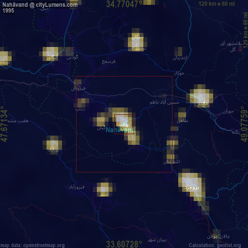
» NASA, Earths city lights 1995
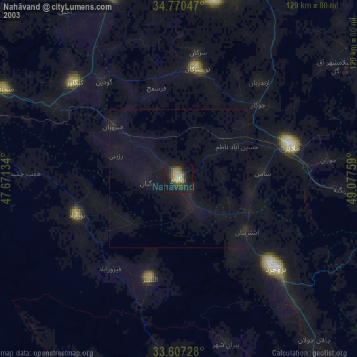
» NASA city lights 2003
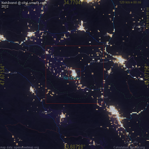
» Earth at Night: Flat Maps 2012, 2016