Hamadān night lights from space
Night Light of Hamadān from space (Iran) Src. Average luminocity for 10x10km area is 86.6667% and for 50x50km: 13.1057%.
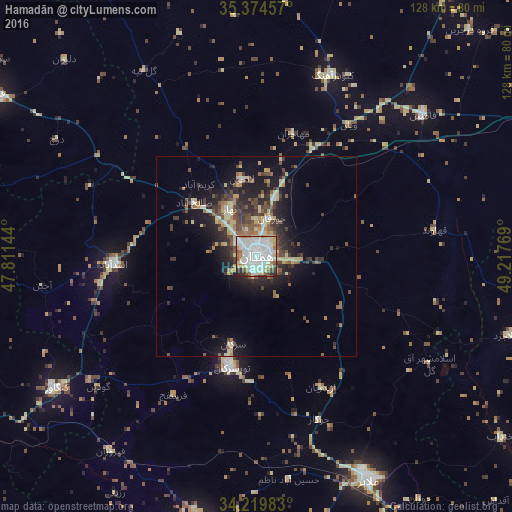
Analysis of Hamadān night lights 2016
Square area 10x10 km:
 36.08%
90-99
30.77%80-89
10.07%70-79
3.48%60-69
6.23%50-59
4.21%40-49
3.66%30-39
1.83%20-29
3.66%10-19
0%0-9
0%Square area 50x50 km:
1.8%90-99
1.76%80-89
2.65%70-79
0.84%60-69
1.47%50-59
1.83%40-49
2.49%30-39
2.41%20-29
3.7%10-19
8.35%0-9
72.7%Clear (daylight) street map image can be seen on geolist.org.
Map coordinates:
35° 22' 28.5" North, 47° 48' 41.2" East
34° 47' 57.2" North, 48° 30' 52.4" East
34° 13' 11.4" North, 49° 13' 3.7" East
Some cities around Hamadān sort by population:
• Pasragad Branch
4.6 km =2.9 mi,  238°
238°
• Āzādshahr
5.2 km =3.2 mi,  100°
100°
• Malāyer
62.1 km =38.6 mi,  153°
153°
• Qorveh
76.4 km =47.5 mi,  302°
302°
• Nahāvand
68.8 km =42.8 mi,  190°
190°
• Asadābād
36.1 km =22.4 mi,  267°
267°
• Kangāvar
60 km =37.3 mi, 236°
• Bahār
13.7 km =8.5 mi,  330°
330°
132144 (p: 528,256)
Sources (retrieved 2019-11-25):
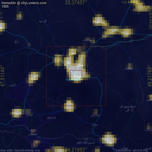
» NASA, Earths city lights 1995
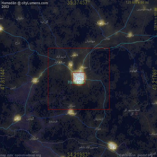
» NASA city lights 2003
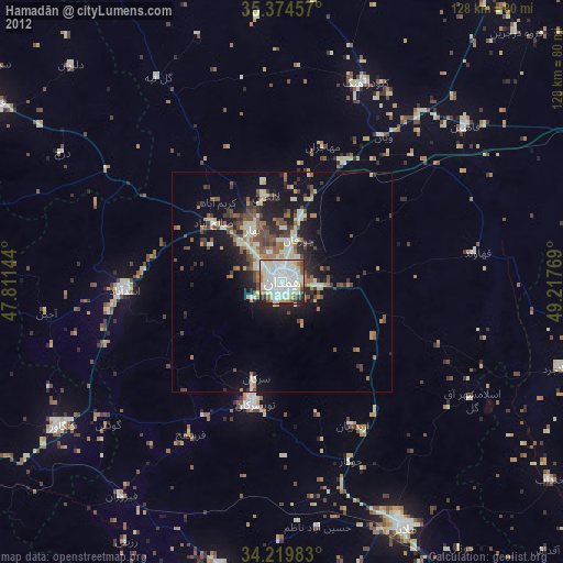
» Earth at Night: Flat Maps 2012, 2016