Nūrābād night lights from space
Night Light of Nūrābād (Lorestān) from space (Iran) Src. Average luminocity for 10x10km area is 18.1451% and for 50x50km: 2.3976%.
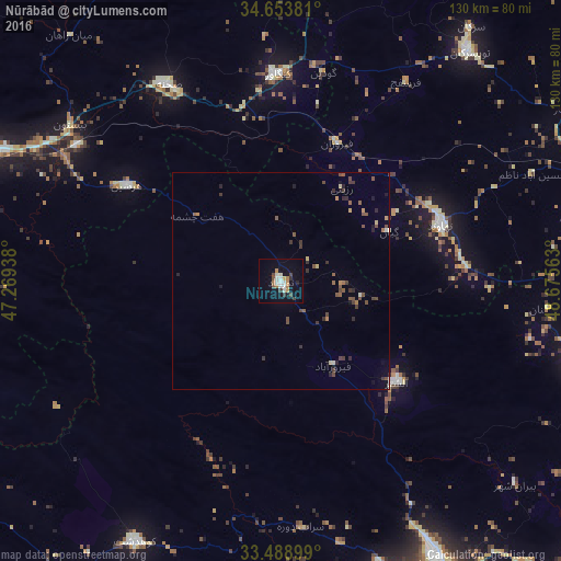
Analysis of Nūrābād night lights 2016
Square area 10x10 km:
 3.5%
3.5%90-99
3.15%80-89
0.52%70-79
2.27%60-69
3.15%50-59
0.52%40-49
2.97%30-39
2.27%20-29
1.22%10-19
9.79%0-9
70.63%Square area 50x50 km:
0.16%90-99
0.2%80-89
0.16%70-79
0.25%60-69
0.27%50-59
0.51%40-49
0.67%30-39
0.69%20-29
0.46%10-19
0.82%0-9
95.82%Clear (daylight) street map image can be seen on geolist.org.
Map coordinates:
34° 39' 13.7" North, 47° 16' 9.8" East
34° 4' 24.2" North, 47° 58' 21" East
33° 29' 20.4" North, 48° 40' 32.3" East
Some cities around Nūrābād sort by population:
• Khorramabad
74.1 km =46 mi,  151°
151°
• Borūjerd
74.5 km =46.3 mi,  105°
105°
• Kūhdasht
68.8 km =42.8 mi,  209°
209°
• Nahāvand
39.2 km =24.4 mi,  70°
70°
• Asadābād
80 km =49.7 mi,  9°
9°
• Harsīn
41.9 km =26 mi,  301°
301°
• Kangāvar
47.9 km =29.8 mi,  359°
359°
• Aleshtar
35.4 km =22 mi,  131°
131°
24851 (p: 73,528)
Sources (retrieved 2019-11-25):
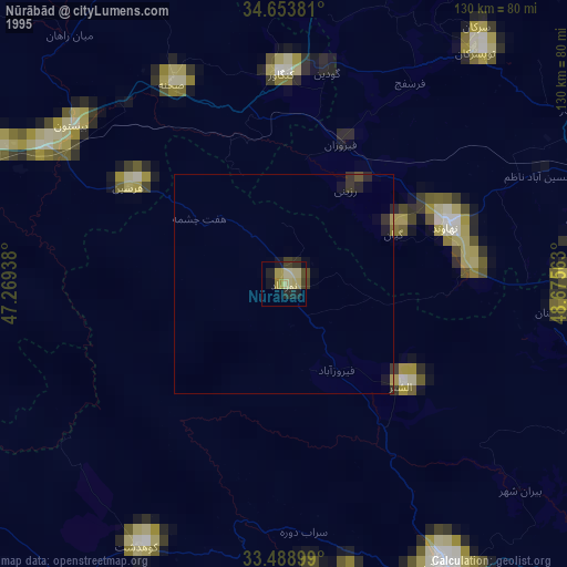
» NASA, Earths city lights 1995
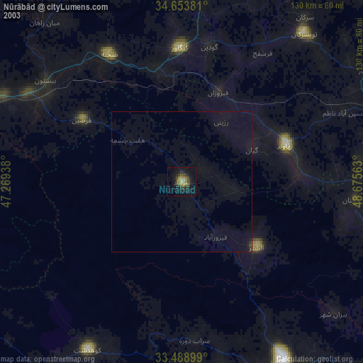
» NASA city lights 2003
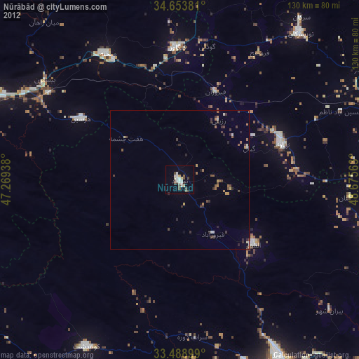
» Earth at Night: Flat Maps 2012, 2016