Harsīn night lights from space
Night Light of Harsīn (Kermānshāh) from space (Iran) Src. Average luminocity for 10x10km area is 15.022% and for 50x50km: 5.2104%.
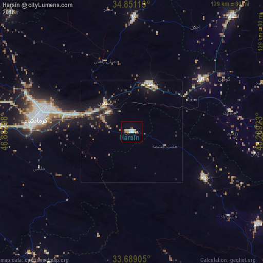
Analysis of Harsīn night lights 2016
Square area 10x10 km:
 2.75%
2.75%90-99
3.3%80-89
2.01%70-79
1.1%60-69
3.3%50-59
0%40-49
1.1%30-39
0.37%20-29
0%10-19
1.65%0-9
84.43%Square area 50x50 km:
0.29%90-99
0.68%80-89
0.52%70-79
0.65%60-69
0.97%50-59
0.58%40-49
0.75%30-39
1.22%20-29
1.28%10-19
4.68%0-9
88.38%Clear (daylight) street map image can be seen on geolist.org.
Map coordinates:
34° 51' 4.1" North, 46° 52' 58.7" East
34° 16' 19.6" North, 47° 35' 10" East
33° 41' 20.6" North, 48° 17' 21.2" East
Some cities around Harsīn sort by population:
• Kahrīz
50.3 km =31.3 mi,  284°
284°
• Kermanshah
48.1 km =29.9 mi, 275°
• Nahāvand
73 km =45.4 mi,  97°
97°
• Nūrābād
41.9 km =26 mi,  121°
121°
• Asadābād
74.9 km =46.5 mi,  40°
40°
• Kangāvar
43.3 km =26.9 mi,  53°
53°
• Sonqor
56.7 km =35.2 mi,  1°
1°
• Aleshtar
77.1 km =47.9 mi,  126°
126°
131962 (p: 57,647)
Sources (retrieved 2019-11-25):
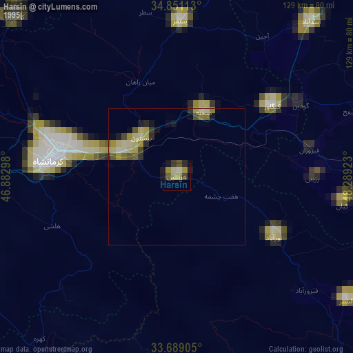
» NASA, Earths city lights 1995
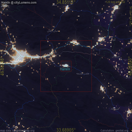
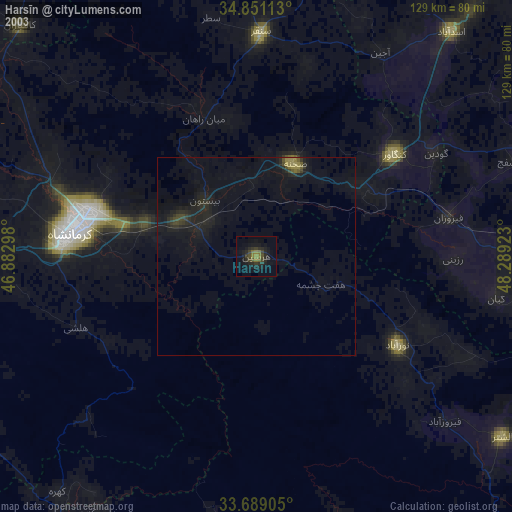
» NASA city lights 2003
» Earth at Night: Flat Maps 2012, 2016