Sonqor night lights from space
Night Light of Sonqor (Kermānshāh) from space (Iran) Src. Average luminocity for 10x10km area is 18.7674% and for 50x50km: 1.2896%.
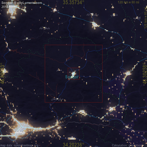
Analysis of Sonqor night lights 2016
Square area 10x10 km:
 2.01%
2.01%90-99
5.49%80-89
2.38%70-79
0.55%60-69
1.28%50-59
2.38%40-49
3.85%30-39
1.1%20-29
0.92%10-19
9.34%0-9
70.7%Square area 50x50 km:
0.08%90-99
0.27%80-89
0.18%70-79
0.02%60-69
0.13%50-59
0.28%40-49
0.3%30-39
0.12%20-29
0.3%10-19
0.42%0-9
97.9%Clear (daylight) street map image can be seen on geolist.org.
Map coordinates:
35° 21' 26.4" North, 46° 53' 46.8" East
34° 46' 54.7" North, 47° 35' 58" East
34° 12' 8.5" North, 48° 18' 9.3" East
Some cities around Sonqor sort by population:
• Kahrīz
66.6 km =41.4 mi,  228°
228°
• Kermanshah
71.4 km =44.4 mi,  223°
223°
• Qorveh
46.7 km =29 mi,  23°
23°
• Kāmyārān
60.6 km =37.7 mi,  271°
271°
• Asadābād
47.5 km =29.5 mi,  89°
89°
• Harsīn
56.7 km =35.2 mi,  181°
181°
• Kangāvar
45.5 km =28.3 mi,  132°
132°
• Bahār
78.1 km =48.5 mi,  79°
79°
114049 (p: 43,174)
Sources (retrieved 2019-11-25):
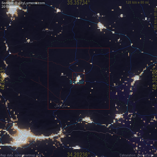
» Earth at Night: Flat Maps 2012, 2016