Pasragad Branch night lights from space
Night Light of Pasragad Branch (Hamadān) from space (Iran) Src. Average luminocity for 10x10km area is 51.7308% and for 50x50km: 13.3385%.
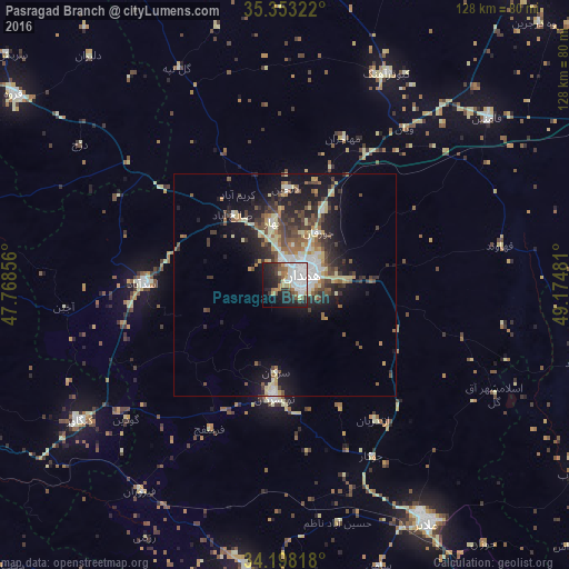
Analysis of Pasragad Branch night lights 2016
Square area 10x10 km:
 16.3%
16.3%90-99
12.64%80-89
5.49%70-79
1.83%60-69
5.86%50-59
4.95%40-49
2.93%30-39
6.41%20-29
16.85%10-19
18.32%0-9
8.42%Square area 50x50 km:
1.87%90-99
1.8%80-89
2.73%70-79
0.87%60-69
1.45%50-59
1.9%40-49
2.42%30-39
2.45%20-29
3.75%10-19
8.72%0-9
72.04%Clear (daylight) street map image can be seen on geolist.org.
Map coordinates:
35° 21' 11.6" North, 47° 46' 6.8" East
34° 46' 39.8" North, 48° 28' 18" East
34° 11' 53.4" North, 49° 10' 29.3" East
Some cities around Pasragad Branch sort by population:
• Hamadān
4.6 km =2.9 mi,  58°
58°
• Āzādshahr
9.1 km =5.7 mi,  81°
81°
• Malāyer
61.9 km =38.5 mi,  148°
148°
• Qorveh
74.5 km =46.3 mi,  305°
305°
• Nahāvand
65.9 km =40.9 mi,  187°
187°
• Asadābād
32.1 km =19.9 mi,  270°
270°
• Kangāvar
55.4 km =34.4 mi,  236°
236°
• Bahār
14.7 km =9.1 mi,  349°
349°
10630176 (p: 787,878)
Sources (retrieved 2019-11-25):
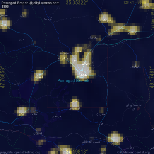
» NASA, Earths city lights 1995
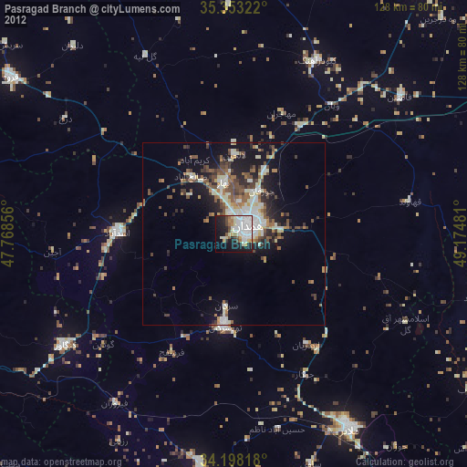
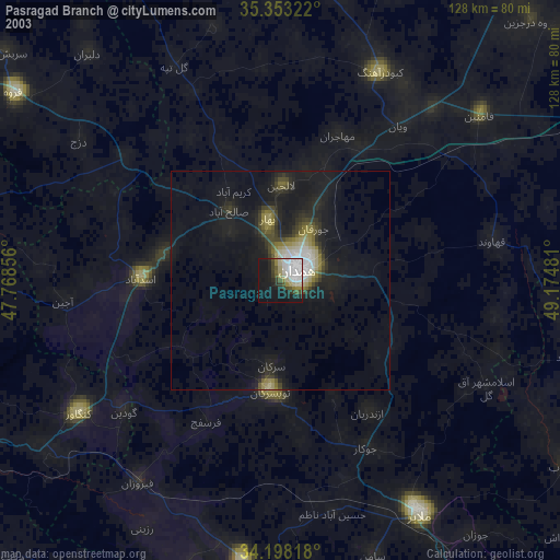
» NASA city lights 2003
» Earth at Night: Flat Maps 2012, 2016