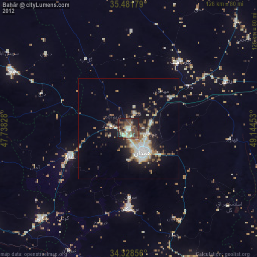
Bahār night lights from space
Night Light of Bahār (Hamadān) from space (Iran) Src. Average luminocity for 10x10km area is 44.9176% and for 50x50km: 13.3148%.
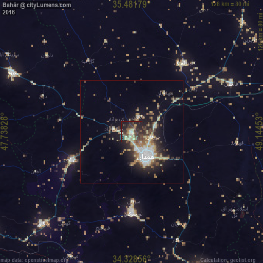
Analysis of Bahār night lights 2016
Square area 10x10 km:
 2.2%
2.2%90-99
2.93%80-89
13.74%70-79
2.93%60-69
5.49%50-59
4.4%40-49
18.13%30-39
14.65%20-29
18.68%10-19
16.85%0-9
0%Square area 50x50 km:
1.77%90-99
1.74%80-89
2.74%70-79
0.9%60-69
1.5%50-59
1.74%40-49
2.59%30-39
2.63%20-29
3.7%10-19
7.54%0-9
73.15%Clear (daylight) street map image can be seen on geolist.org.
Map coordinates:
35° 28' 54.4" North, 47° 44' 17.8" East
34° 54' 25.9" North, 48° 26' 29" East
34° 19' 42.8" North, 49° 8' 40.3" East
Some cities around Bahār sort by population:
• Pasragad Branch
14.7 km =9.1 mi,  169°
169°
• Hamadān
13.7 km =8.5 mi,  150°
150°
• Āzādshahr
17.5 km =10.9 mi,  137°
137°
• Malāyer
75.8 km =47.1 mi, 152°
• Qorveh
64.7 km =40.2 mi,  296°
296°
• Asadābād
32.4 km =20.1 mi,  244°
244°
• Kangāvar
62.5 km =38.8 mi,  224°
224°
• Sonqor
78.1 km =48.5 mi,  259°
259°
142000 (p: 28,645)
Sources (retrieved 2019-11-25):
» Earth at Night: Flat Maps 2012, 2016