Shiraz night lights from space
Night Light of Shiraz (Fars) from space (Iran) Src. Average luminocity for 10x10km area is 98.2778% and for 50x50km: 36.2833%.
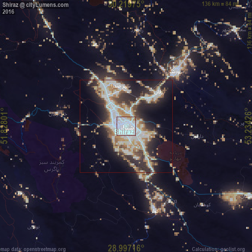
Analysis of Shiraz night lights 2016
Square area 10x10 km:
 79.96%
90-99
14.88%80-89
0.99%70-79
3.37%60-69
0.6%50-59
0.2%40-49
0%30-39
0%20-29
0%10-19
0%0-9
0%Square area 50x50 km:
9.18%90-99
8.98%80-89
2.74%70-79
4.02%60-69
4.64%50-59
4.04%40-49
3.41%30-39
4.52%20-29
9.52%10-19
12.11%0-9
36.82%Clear (daylight) street map image can be seen on geolist.org.
Map coordinates:
30° 13' 11.1" North, 51° 49' 40.8" East
29° 36' 37.1" North, 52° 31' 52.1" East
28° 59' 49.8" North, 53° 14' 3.3" East
Some cities around Shiraz sort by population:
• Marvdasht
39.3 km =24.4 mi,  41°
41°
• Akbarābād
47.1 km =29.3 mi,  149°
149°
• Fasā
131.6 km =81.8 mi,  124°
124°
• Kāzerūn
84.8 km =52.7 mi,  270°
270°
• Borāzjān
132.6 km =82.4 mi,  253°
253°
• Fīrūzābād
85.3 km =53 mi,  177°
177°
• Nūrābād
112.3 km =69.8 mi,  299°
299°
• Pāsārgād
90.8 km =56.4 mi, 43°
115019 (p: 1,249,942)
Sources (retrieved 2019-11-25):
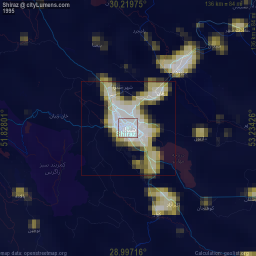
» NASA, Earths city lights 1995
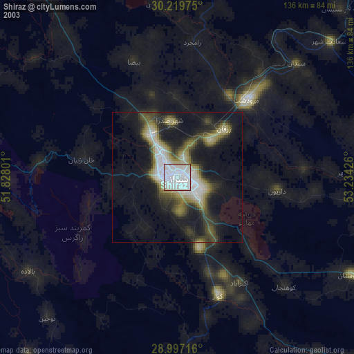
» NASA city lights 2003
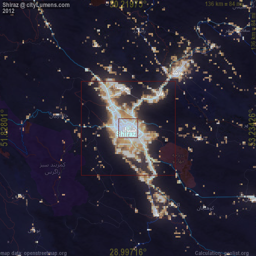
» Earth at Night: Flat Maps 2012, 2016