Neyrīz night lights from space
Night Light of Neyrīz (Fars) from space (Iran) Src. Average luminocity for 10x10km area is 38.3611% and for 50x50km: 3.4158%.
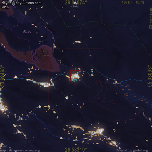
Analysis of Neyrīz night lights 2016
Square area 10x10 km:
 7.34%
7.34%90-99
8.13%80-89
4.37%70-79
3.77%60-69
6.75%50-59
3.17%40-49
1.59%30-39
2.78%20-29
5.36%10-19
48.21%0-9
8.53%Square area 50x50 km:
0.32%90-99
0.51%80-89
0.64%70-79
0.18%60-69
0.54%50-59
0.42%40-49
0.27%30-39
0.32%20-29
0.58%10-19
3.48%0-9
92.73%Clear (daylight) street map image can be seen on geolist.org.
Map coordinates:
29° 48' 38.7" North, 53° 37' 28.8" East
29° 11' 55.7" North, 54° 19' 40.1" East
28° 34' 59.5" North, 55° 1' 51.3" East
Some cities around Neyrīz sort by population:
• Sirjan
134.1 km =83.3 mi,  77°
77°
• Marvdasht
165.6 km =102.9 mi,  296°
296°
• Akbarābād
150.4 km =93.5 mi,  272°
272°
• Fasā
72.1 km =44.8 mi,  246°
246°
• Dārāb
54 km =33.6 mi,  157°
157°
• Shahr-e Bābak
127.5 km =79.2 mi,  36°
36°
• Pāsārgād
157.3 km =97.7 mi,  315°
315°
• Gerāsh
171.1 km =106.3 mi,  186°
186°
122289 (p: 45,506)
Sources (retrieved 2019-11-25):
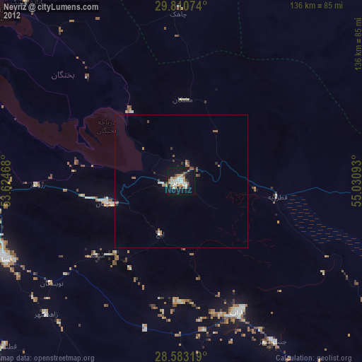
» Earth at Night: Flat Maps 2012, 2016