Dehlorān night lights from space
Night Light of Dehlorān (Ilam Province) from space (Iran) Src. Average luminocity for 10x10km area is 18.6154% and for 50x50km: 7.0482%.
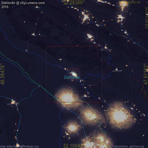
Analysis of Dehlorān night lights 2016
Square area 10x10 km:
 3.67%
3.67%90-99
2.62%80-89
2.8%70-79
1.4%60-69
0.7%50-59
3.15%40-49
2.45%30-39
2.1%20-29
0.17%10-19
11.36%0-9
69.58%Square area 50x50 km:
0.58%90-99
1.46%80-89
1.22%70-79
0.64%60-69
0.46%50-59
1.45%40-49
1.27%30-39
1.78%20-29
1.79%10-19
2.39%0-9
86.95%Clear (daylight) street map image can be seen on geolist.org.
Map coordinates:
33° 17' 1.9" North, 46° 33' 53.2" East
32° 41' 38.8" North, 47° 16' 4.4" East
32° 6' 1.5" North, 47° 58' 15.7" East
Some cities around Dehlorān sort by population:
• Al ‘Amārah, IQ
96.2 km =59.8 mi,  186°
186°
• Kūhdasht
98.6 km =61.3 mi,  18°
18°
• Al Ḩayy, IQ
128.6 km =79.9 mi,  243°
243°
• Shūsh
107.1 km =66.5 mi,  121°
121°
• Darreh Shahr
51.2 km =31.8 mi,  11°
11°
• ‘Alī al Gharbī, IQ
60.2 km =37.4 mi, 244°
• Ābdānān
36.1 km =22.4 mi, 23°
• Mehrān
113.5 km =70.5 mi,  294°
294°
136702 (p: 46,002)
Sources (retrieved 2019-11-25):
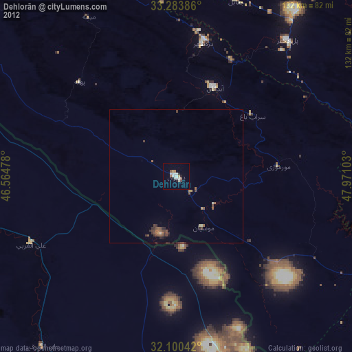
» Earth at Night: Flat Maps 2012, 2016