Ābdānān night lights from space
Night Light of Ābdānān (Ilam Province) from space (Iran) Src. Average luminocity for 10x10km area is 16.2473% and for 50x50km: 2.7732%.
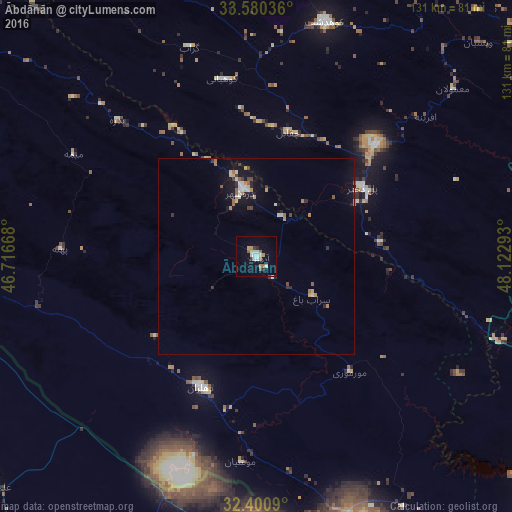
Analysis of Ābdānān night lights 2016
Square area 10x10 km:
 3.11%
3.11%90-99
2.75%80-89
1.47%70-79
2.2%60-69
1.47%50-59
2.38%40-49
0.55%30-39
1.47%20-29
1.47%10-19
4.95%0-9
78.21%Square area 50x50 km:
0.23%90-99
0.52%80-89
0.24%70-79
0.34%60-69
0.42%50-59
0.31%40-49
0.3%30-39
0.26%20-29
0.5%10-19
1.71%0-9
95.19%Clear (daylight) street map image can be seen on geolist.org.
Map coordinates:
33° 34' 49.3" North, 46° 43' 0" East
32° 59' 33.4" North, 47° 25' 11.3" East
32° 24' 3.2" North, 48° 7' 22.5" East
Some cities around Ābdānān sort by population:
• Khorramabad
103 km =64 mi,  57°
57°
• Īlām
117.1 km =72.8 mi,  307°
307°
• Kūhdasht
62.7 km =39 mi,  16°
16°
• Shūsh
117.6 km =73.1 mi,  138°
138°
• Dehlorān
36.1 km =22.4 mi,  203°
203°
• Darreh Shahr
17.3 km =10.7 mi,  347°
347°
• ‘Alī al Gharbī, IQ
90.4 km =56.2 mi,  229°
229°
• Mehrān
117.9 km =73.3 mi,  277°
277°
145233 (p: 19,360)
Sources (retrieved 2019-11-25):
» Earth at Night: Flat Maps 2012, 2016