Al ‘Amārah night lights from space
Night Light of Al ‘Amārah (Maysan) from space (Iraq) Src. Average luminocity for 10x10km area is 86.6813% and for 50x50km: 24.9164%.
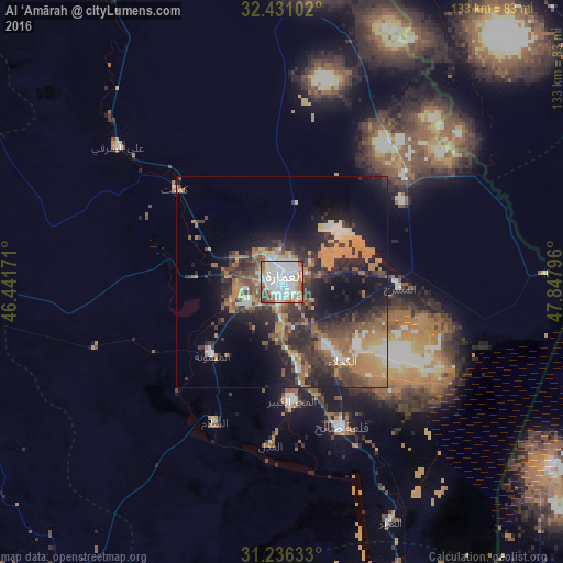
Analysis of Al ‘Amārah night lights 2016
Square area 10x10 km:
 40.84%
90-99
25.82%80-89
3.3%70-79
4.21%60-69
13.74%50-59
4.58%40-49
5.49%30-39
2.01%20-29
0%10-19
0%0-9
0%Square area 50x50 km:
3.12%90-99
3.43%80-89
1.23%70-79
3.73%60-69
6.29%50-59
4.18%40-49
4.06%30-39
5.63%20-29
8.31%10-19
11.84%0-9
48.19%Clear (daylight) street map image can be seen on geolist.org.
Map coordinates:
32° 25' 51.7" North, 46° 26' 30.2" East
31° 50' 8.2" North, 47° 8' 41.4" East
31° 14' 10.8" North, 47° 50' 52.7" East
Some cities around Al ‘Amārah sort by population:
• Nasiriyah
120.7 km =75 mi,  224°
224°
• Ash Shaţrah
103.5 km =64.3 mi,  242°
242°
• Al Ḩayy
110.5 km =68.7 mi,  289°
289°
• Shūsh, IR
111 km =69 mi,  68°
68°
• Dehlorān, IR
96.2 km =59.8 mi,  6°
6°
• Sūsangerd, IR
103.4 km =64.2 mi,  107°
107°
• Nāḩiyat al Fuhūd
104.3 km =64.8 mi,  202°
202°
• ‘Alī al Gharbī
81.8 km =50.8 mi,  328°
328°
99608 (p: 323,302)
Sources (retrieved 2019-11-25):
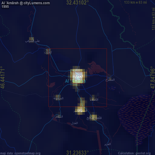
» NASA, Earths city lights 1995
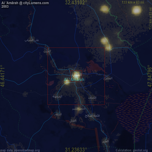
» NASA city lights 2003
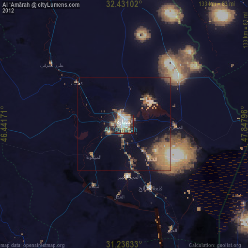
» Earth at Night: Flat Maps 2012, 2016