Shūsh night lights from space
Night Light of Shūsh (Khuzestan) from space (Iran) Src. Average luminocity for 10x10km area is 42.979% and for 50x50km: 17.3584%.
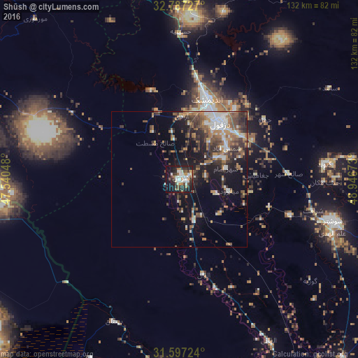
Analysis of Shūsh night lights 2016
Square area 10x10 km:
 8.22%
8.22%90-99
9.79%80-89
2.97%70-79
4.2%60-69
5.94%50-59
3.85%40-49
5.42%30-39
8.92%20-29
15.21%10-19
29.72%0-9
5.77%Square area 50x50 km:
2.5%90-99
2.57%80-89
0.76%70-79
1.91%60-69
3.72%50-59
2.85%40-49
2.85%30-39
3.6%20-29
4.77%10-19
11.68%0-9
62.8%Clear (daylight) street map image can be seen on geolist.org.
Map coordinates:
32° 47' 14.2" North, 47° 32' 25.7" East
32° 11' 39.1" North, 48° 14' 37" East
31° 35' 50.1" North, 48° 56' 48.2" East
Some cities around Shūsh sort by population:
• Ahvaz
105.9 km =65.8 mi,  156°
156°
• Khorramabad
144.2 km =89.6 mi,  4°
4°
• Al ‘Amārah, IQ
111 km =69 mi,  248°
248°
• Masjed Soleymān
103.9 km =64.6 mi,  106°
106°
• Dehlorān
107.1 km =66.5 mi,  301°
301°
• Sūsangerd
70.3 km =43.7 mi,  184°
184°
• Darreh Shahr
133 km =82.6 mi,  322°
322°
• Ābdānān
117.6 km =73.1 mi, 318°
114593 (p: 52,284)
Sources (retrieved 2019-11-25):
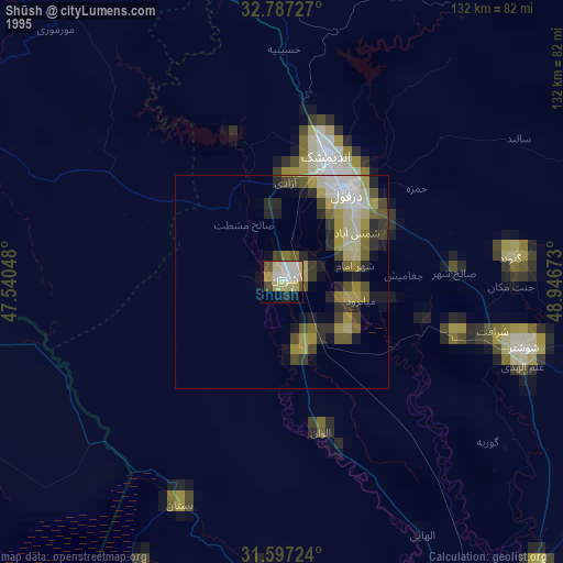
» NASA, Earths city lights 1995
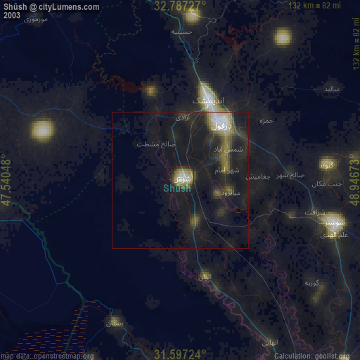
» NASA city lights 2003
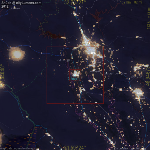
» Earth at Night: Flat Maps 2012, 2016