Kūhdasht night lights from space
Night Light of Kūhdasht (Lorestān) from space (Iran) Src. Average luminocity for 10x10km area is 26.2766% and for 50x50km: 2.6648%.
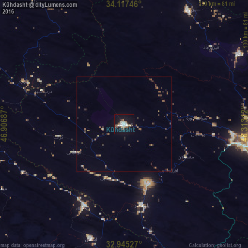
Analysis of Kūhdasht night lights 2016
Square area 10x10 km:
 4.58%
4.58%90-99
7.33%80-89
1.28%70-79
3.3%60-69
0.37%50-59
3.48%40-49
3.11%30-39
2.2%20-29
2.2%10-19
29.49%0-9
42.67%Square area 50x50 km:
0.2%90-99
0.35%80-89
0.14%70-79
0.26%60-69
0.35%50-59
0.57%40-49
0.45%30-39
0.75%20-29
0.44%10-19
1.53%0-9
94.96%Clear (daylight) street map image can be seen on geolist.org.
Map coordinates:
34° 7' 2.9" North, 46° 54' 24.7" East
33° 32' 0.1" North, 47° 36' 36" East
32° 56' 43" North, 48° 18' 47.2" East
Some cities around Kūhdasht sort by population:
• Kermanshah
100.3 km =62.3 mi,  329°
329°
• Khorramabad
69.3 km =43.1 mi,  94°
94°
• Nūrābād
68.8 km =42.8 mi,  29°
29°
• Harsīn
82.2 km =51.1 mi,  358°
358°
• Dehlorān
98.6 km =61.3 mi,  198°
198°
• Aleshtar
70.7 km =43.9 mi,  58°
58°
• Darreh Shahr
48.2 km =30 mi,  206°
206°
• Ābdānān
62.7 km =39 mi, 196°
126409 (p: 100,208)
Sources (retrieved 2019-11-25):
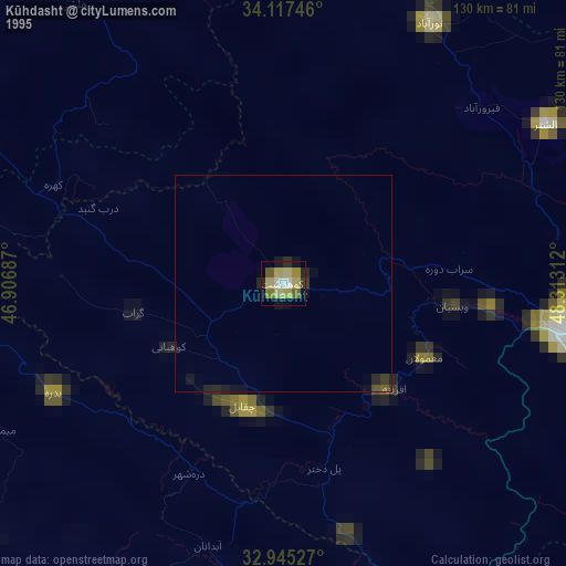
» NASA, Earths city lights 1995
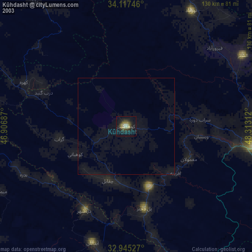
» NASA city lights 2003
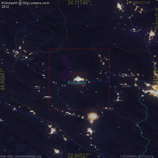
» Earth at Night: Flat Maps 2012, 2016