Darreh Shahr night lights from space
Night Light of Darreh Shahr (Ilam Province) from space (Iran) Src. Average luminocity for 10x10km area is 27.1886% and for 50x50km: 3.9106%.
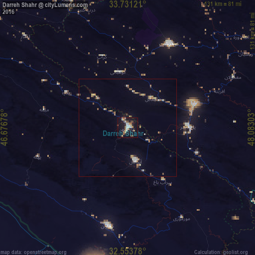

Analysis of Darreh Shahr night lights 2016
Square area 10x10 km:
 1.83%
1.83%90-99
7.33%80-89
3.48%70-79
2.75%60-69
2.93%50-59
3.66%40-49
4.21%30-39
1.28%20-29
5.13%10-19
29.85%0-9
37.55%Square area 50x50 km:
0.26%90-99
0.63%80-89
0.52%70-79
0.47%60-69
0.65%50-59
0.54%40-49
0.52%30-39
0.41%20-29
0.53%10-19
1.69%0-9
93.79%Clear (daylight) street map image can be seen on geolist.org.
Map coordinates:
33° 43' 52.4" North, 46° 40' 36.4" East
33° 8' 40.1" North, 47° 22' 47.6" East
32° 33' 13.6" North, 48° 4' 58.9" East
Some cities around Darreh Shahr sort by population:
• Khorramabad
98.4 km =61.1 mi,  67°
67°
• Īlām
104.4 km =64.9 mi,  301°
301°
• Kūhdasht
48.2 km =30 mi,  26°
26°
• Dehlorān
51.2 km =31.8 mi,  191°
191°
• Aleshtar
114.5 km =71.1 mi,  45°
45°
• ‘Alī al Gharbī, IQ
99.7 km =62 mi,  220°
220°
• Ābdānān
17.3 km =10.7 mi,  167°
167°
• Mehrān
113.2 km =70.3 mi,  268°
268°
137436 (p: 24,961)
Sources (retrieved 2019-11-25):
» Earth at Night: Flat Maps 2012, 2016