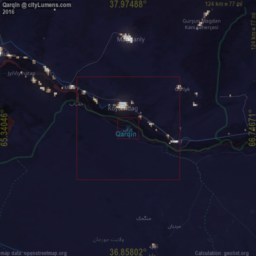
Qarqīn night lights from space
Night Light of Qarqīn (Jowzjan) from space (Afghanistan) Src. Average luminocity for 10x10km area is 0.1672% and for 50x50km: 1.6167%.
Analysis of Qarqīn night lights 2016
Square area 10x10 km:
 0%
0%90-99
0%80-89
0%70-79
0%60-69
0%50-59
0%40-49
0%30-39
0%20-29
0%10-19
0%0-9
100%Square area 50x50 km:
0.16%90-99
0.42%80-89
0.08%70-79
0.11%60-69
0.18%50-59
0.17%40-49
0.36%30-39
0.25%20-29
0.2%10-19
0.63%0-9
97.44%Clear (daylight) street map image can be seen on geolist.org.
Map coordinates:
37° 58' 29.6" North, 65° 20' 25.7" East
37° 25' 6.7" North, 66° 2' 36.9" East
36° 51' 28.9" North, 66° 44' 48.2" East
Some cities around Qarqīn sort by population:
• Mazār-e Sharīf
123.2 km =76.6 mi,  129°
129°
• Tirmiz, UZ
111.3 km =69.2 mi,  101°
101°
• Balkh
105.6 km =65.6 mi, 134°
• Shibirghān
87.4 km =54.3 mi,  197°
197°
• Gowurdak, TM
43.8 km =27.2 mi,  0°
0°
• Atamyrat, TM
86.8 km =53.9 mi,  302°
302°
• Andkhōy
96.5 km =60 mi,  237°
237°
• Qarchī Gak
78.3 km =48.7 mi,  122°
122°
1129516 (p: 15,018)
Sources (retrieved 2019-11-25):
» Earth at Night: Flat Maps 2012, 2016