Mazār-e Sharīf night lights from space
Night Light of Mazār-e Sharīf (Balkh) from space (Afghanistan) Src. Average luminocity for 10x10km area is 75.5971% and for 50x50km: 5.9118%.
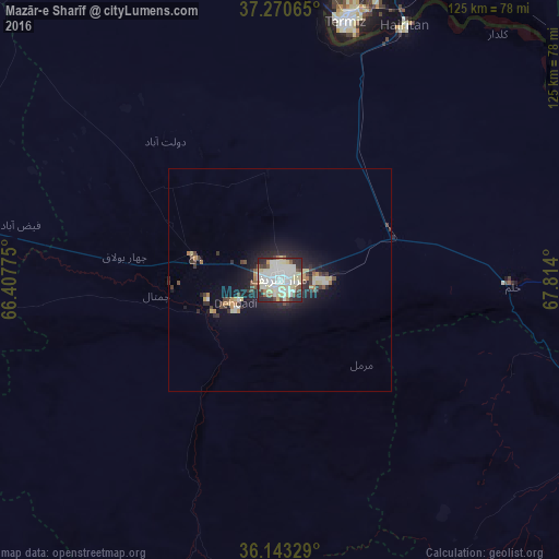

Analysis of Mazār-e Sharīf night lights 2016
Square area 10x10 km:
 15.02%
90-99
35.16%80-89
16.67%70-79
1.65%60-69
2.2%50-59
4.03%40-49
7.33%30-39
3.11%20-29
14.29%10-19
0.55%0-9
0%Square area 50x50 km:
0.64%90-99
1.57%80-89
1.01%70-79
0.37%60-69
0.42%50-59
0.36%40-49
0.81%30-39
0.79%20-29
1.94%10-19
4.31%0-9
87.79%Clear (daylight) street map image can be seen on geolist.org.
Map coordinates:
37° 16' 14.3" North, 66° 24' 27.9" East
36° 42' 32.5" North, 67° 6' 39.1" East
36° 8' 35.8" North, 67° 48' 50.4" East
Some cities around Mazār-e Sharīf sort by population:
• Tirmiz, UZ
59.2 km =36.8 mi,  14°
14°
• Balkh
19.8 km =12.3 mi,  285°
285°
• Khulm
52.4 km =32.6 mi,  91°
91°
• Aībak
94.8 km =58.9 mi,  121°
121°
• Sang-e Chārak
113 km =70.2 mi,  212°
212°
• Shahritus, TJ
110 km =68.4 mi,  56°
56°
• Tukzār
104.7 km =65.1 mi,  216°
216°
• Qarchī Gak
46.6 km =29 mi,  322°
322°
1133616 (p: 303,282)
Sources (retrieved 2019-11-25):
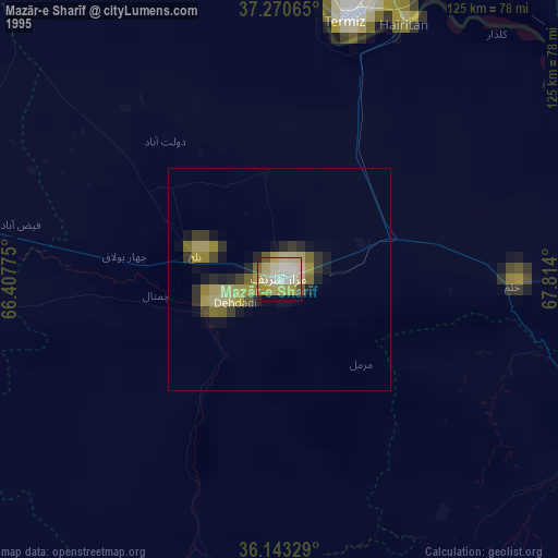
» NASA, Earths city lights 1995
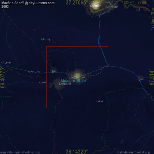
» NASA city lights 2003
» Earth at Night: Flat Maps 2012, 2016