Tirmiz night lights from space
Night Light of Tirmiz (Surxondaryo) from space (Uzbekistan) Src. Average luminocity for 10x10km area is 46.1599% and for 50x50km: 3.752%.
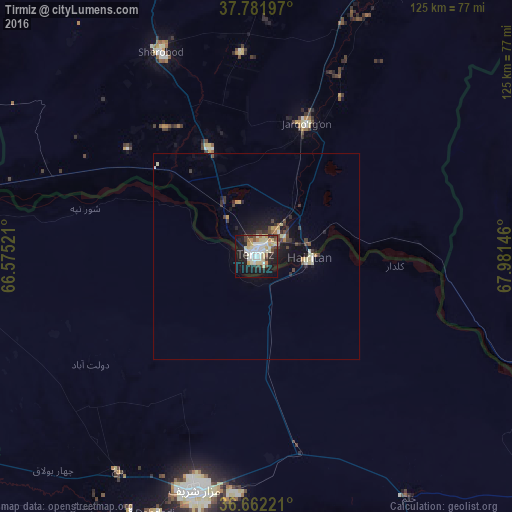
Analysis of Tirmiz night lights 2016
Square area 10x10 km:
 4.42%
4.42%90-99
16.16%80-89
11.39%70-79
4.76%60-69
2.04%50-59
3.06%40-49
3.4%30-39
4.25%20-29
9.69%10-19
30.61%0-9
10.2%Square area 50x50 km:
0.2%90-99
0.88%80-89
0.66%70-79
0.38%60-69
0.2%50-59
0.26%40-49
0.51%30-39
0.81%20-29
0.9%10-19
3.16%0-9
92.03%Clear (daylight) street map image can be seen on geolist.org.
Map coordinates:
37° 46' 55.1" North, 66° 34' 30.8" East
37° 13' 27" North, 67° 16' 42" East
36° 39' 44" North, 67° 58' 53.3" East
Some cities around Tirmiz sort by population:
• Mazār-e Sharīf, AF
59.2 km =36.8 mi,  194°
194°
• Balkh, AF
62.1 km =38.6 mi,  213°
213°
• Khulm, AF
69.4 km =43.1 mi,  147°
147°
• Boysun
109.6 km =68.1 mi,  356°
356°
• Sho‘rchi
97.2 km =60.4 mi,  27°
27°
• Shahritus, TJ
76.3 km =47.4 mi,  86°
86°
• Qarchī Gak, AF
48 km =29.8 mi,  244°
244°
• Gharavŭtí, TJ
110 km =68.4 mi,  69°
69°
1215957 (p: 140,385)
Sources (retrieved 2019-11-25):
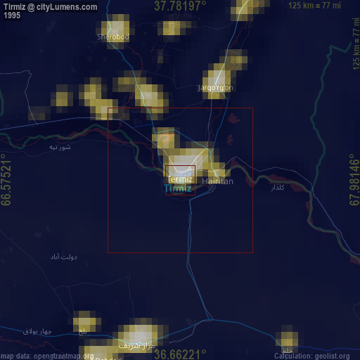
» NASA, Earths city lights 1995
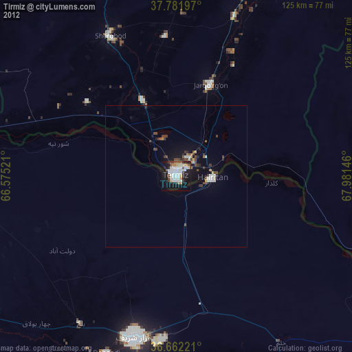
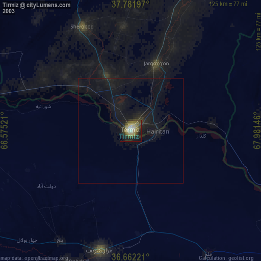
» NASA city lights 2003
» Earth at Night: Flat Maps 2012, 2016