Andkhōy night lights from space
Night Light of Andkhōy (Faryab) from space (Afghanistan) Src. Average luminocity for 10x10km area is 5.6006% and for 50x50km: 0.2363%.

Analysis of Andkhōy night lights 2016
Square area 10x10 km:
 0%
0%90-99
0%80-89
0.65%70-79
0.65%60-69
0.49%50-59
1.79%40-49
3.57%30-39
1.3%20-29
1.79%10-19
0.97%0-9
88.8%Square area 50x50 km:
0%90-99
0%80-89
0.03%70-79
0.03%60-69
0.02%50-59
0.07%40-49
0.15%30-39
0.05%20-29
0.07%10-19
0.04%0-9
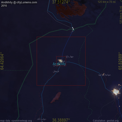
99.53%Clear (daylight) street map image can be seen on geolist.org.
Map coordinates:
37° 30' 45.9" North, 64° 25' 14.3" East
36° 57' 10.5" North, 65° 7' 25.5" East
36° 23' 20.3" North, 65° 49' 36.8" East
Some cities around Andkhōy sort by population:
• Maymana
118.7 km =73.8 mi,  194°
194°
• Shibirghān
64.4 km =40 mi,  119°
119°
• Sar-e Pul
109.3 km =67.9 mi,  138°
138°
• Gowurdak, TM
125.6 km =78 mi,  40°
40°
• Atamyrat, TM
98.5 km =61.2 mi,  4°
4°
• Qarqīn
96.5 km =60 mi,  57°
57°
• Darzāb
110.8 km =68.8 mi,  168°
168°
• Qarchī Gak
148.2 km =92.1 mi,  86°
86°
1148658 (p: 29,208)
Sources (retrieved 2019-11-25):
» Earth at Night: Flat Maps 2012, 2016