Balkh night lights from space
Night Light of Balkh from space (Afghanistan) Src. Average luminocity for 10x10km area is 4.4825% and for 50x50km: 5.0956%.
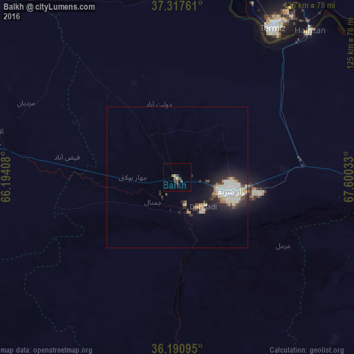
Analysis of Balkh night lights 2016
Square area 10x10 km:
 0%
0%90-99
0%80-89
0.7%70-79
0.7%60-69
1.4%50-59
0%40-49
2.45%30-39
1.75%20-29
0%10-19
0.17%0-9
92.83%Square area 50x50 km:
0.57%90-99
1.49%80-89
0.86%70-79
0.35%60-69
0.3%50-59
0.31%40-49
0.7%30-39
0.55%20-29
1.69%10-19
3.43%0-9
89.75%Clear (daylight) street map image can be seen on geolist.org.
Map coordinates:
37° 19' 3.4" North, 66° 11' 38.7" East
36° 45' 22.9" North, 66° 53' 49.9" East
36° 11' 27.4" North, 67° 36' 1.2" East
Some cities around Balkh sort by population:
• Mazār-e Sharīf
19.8 km =12.3 mi,  105°
105°
• Tirmiz, UZ
62.1 km =38.6 mi,  33°
33°
• Khulm
71.7 km =44.6 mi,  95°
95°
• Shibirghān
102.5 km =63.7 mi,  264°
264°
• Sar-e Pul
105.1 km =65.3 mi,  235°
235°
• Qarqīn
105.6 km =65.6 mi,  314°
314°
• Tukzār
99.4 km =61.8 mi,  205°
205°
• Qarchī Gak
33 km =20.5 mi,  343°
343°
1147290 (p: 114,883)
Sources (retrieved 2019-11-25):
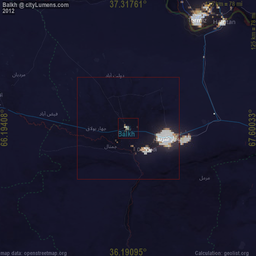
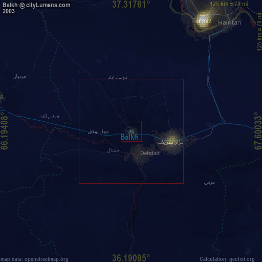
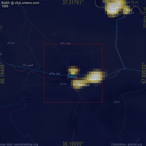
» NASA, Earths city lights 1995
» NASA city lights 2003
» Earth at Night: Flat Maps 2012, 2016