Gowurdak night lights from space
Night Light of Gowurdak (Lebap) from space (Turkmenistan) Src. Average luminocity for 10x10km area is 19.2279% and for 50x50km: 0.9078%.
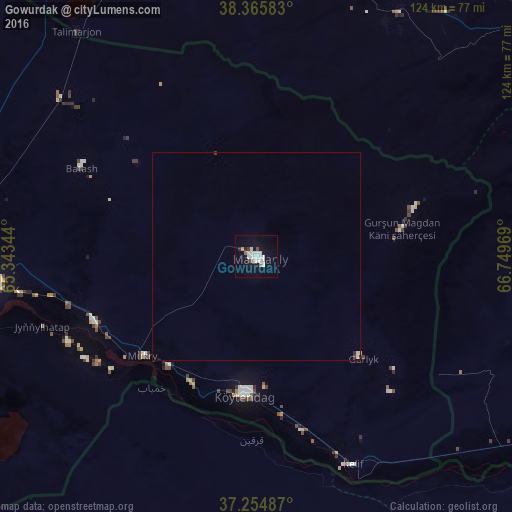
Analysis of Gowurdak night lights 2016
Square area 10x10 km:
 4.25%
4.25%90-99
7.31%80-89
0.17%70-79
0.51%60-69
0.85%50-59
1.19%40-49
0.68%30-39
1.02%20-29
1.7%10-19
13.44%0-9
68.88%Square area 50x50 km:
0.17%90-99
0.34%80-89
0.01%70-79
0.02%60-69
0.03%50-59
0.05%40-49
0.03%30-39
0.09%20-29
0.09%10-19
0.53%0-9
98.63%Clear (daylight) street map image can be seen on geolist.org.
Map coordinates:
38° 21' 57" North, 65° 20' 36.4" East
37° 48' 44.8" North, 66° 2' 47.6" East
37° 15' 17.5" North, 66° 44' 58.9" East
Some cities around Gowurdak sort by population:
• Qarshi, UZ
118.7 km =73.8 mi,  349°
349°
• Atamyrat
73.5 km =45.7 mi,  272°
272°
• G‘uzor, UZ
91.6 km =56.9 mi,  11°
11°
• Boysun, UZ
110.8 km =68.8 mi,  66°
66°
• Beshkent, UZ
117.3 km =72.9 mi,  342°
342°
• Qarqīn, AF
43.8 km =27.2 mi,  180°
180°
• Nishon Tumani, UZ
103.2 km =64.1 mi, 341°
• Qarchī Gak, AF
108 km =67.1 mi,  142°
142°
1219392 (p: 34,745)
Sources (retrieved 2019-11-25):
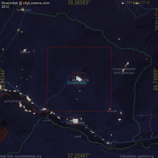
» Earth at Night: Flat Maps 2012, 2016