Shibirghān night lights from space
Night Light of Shibirghān (Jowzjan) from space (Afghanistan) Src. Average luminocity for 10x10km area is 36.8004% and for 50x50km: 1.8759%.
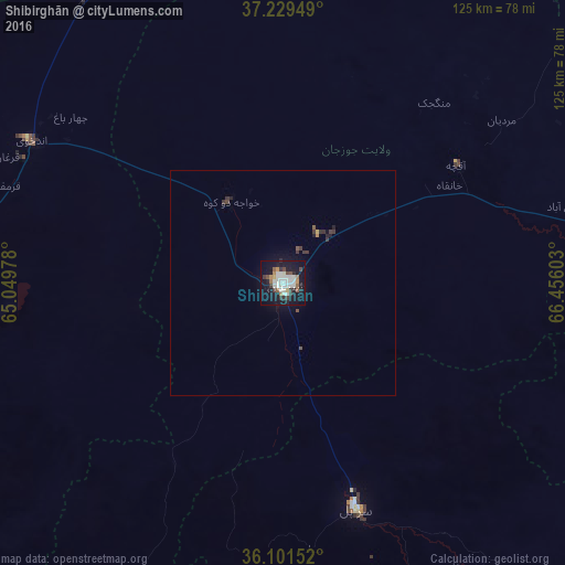
Analysis of Shibirghān night lights 2016
Square area 10x10 km:
 2.2%
2.2%90-99
17.58%80-89
1.1%70-79
2.01%60-69
3.66%50-59
3.66%40-49
2.75%30-39
6.23%20-29
4.95%10-19
41.39%0-9
14.47%Square area 50x50 km:
0.08%90-99
0.66%80-89
0.05%70-79
0.09%60-69
0.16%50-59
0.21%40-49
0.21%30-39
0.48%20-29
0.31%10-19
1.94%0-9
95.8%Clear (daylight) street map image can be seen on geolist.org.
Map coordinates:
37° 13' 46.2" North, 65° 2' 59.2" East
36° 40' 3.3" North, 65° 45' 10.4" East
36° 6' 5.5" North, 66° 27' 21.7" East
Some cities around Shibirghān sort by population:
• Balkh
102.5 km =63.7 mi,  84°
84°
• Sar-e Pul
52.8 km =32.8 mi,  162°
162°
• Andkhōy
64.4 km =40 mi,  299°
299°
• Sang-e Chārak
109.7 km =68.2 mi,  146°
146°
• Qarqīn
87.4 km =54.3 mi,  17°
17°
• Tukzār
99.9 km =62.1 mi,  143°
143°
• Darzāb
83.8 km =52.1 mi,  203°
203°
• Qarchī Gak
101 km =62.8 mi,  65°
65°
1125444 (p: 55,641)
Sources (retrieved 2019-11-25):
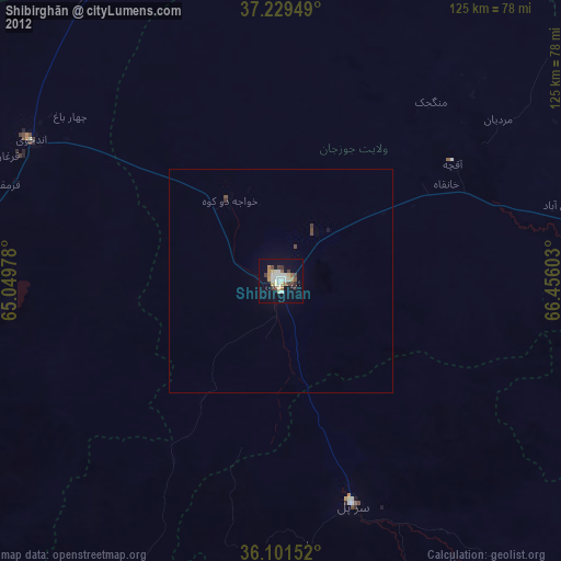
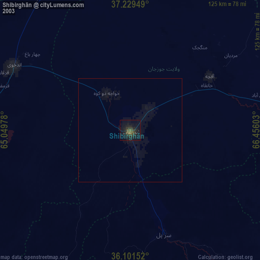
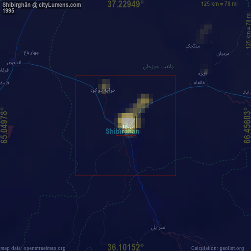
» NASA, Earths city lights 1995
» NASA city lights 2003
» Earth at Night: Flat Maps 2012, 2016