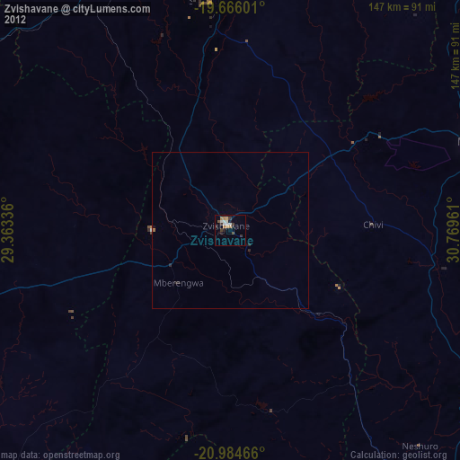
Zvishavane night lights from space
Night Light of Zvishavane (Masvingo) from space (Zimbabwe) Src. Average luminocity for 10x10km area is 10.1515% and for 50x50km: 0.5995%.
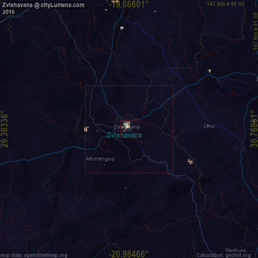
Analysis of Zvishavane night lights 2016
Square area 10x10 km:
 1.89%
1.89%90-99
1.14%80-89
0.57%70-79
0.95%60-69
0.76%50-59
3.79%40-49
2.08%30-39
0.95%20-29
0.76%10-19
1.14%0-9
85.98%Square area 50x50 km:
0.09%90-99
0.09%80-89
0.02%70-79
0.06%60-69
0.06%50-59
0.16%40-49
0.12%30-39
0.05%20-29
0.09%10-19
0.16%0-9
99.11%Clear (daylight) street map image can be seen on geolist.org.
Map coordinates:
19° 39' 57.6" South, 29° 21' 48.1" East
20° 19' 36.3" South, 30° 3' 59.3" East
20° 59' 4.8" South, 30° 46' 10.6" East
Some cities around Zvishavane sort by population:
• Bulawayo
156 km =96.9 mi,  277°
277°
• Gweru
100.9 km =62.7 mi,  345°
345°
• Masvingo
84.6 km =52.6 mi,  69°
69°
• Redcliff
146.8 km =91.2 mi, 348°
• Shurugwi
73.3 km =45.5 mi,  355°
355°
• Gwanda
129.4 km =80.4 mi,  238°
238°
• Mashava
54.1 km =33.6 mi,  53°
53°
• Inyati
146.6 km =91.1 mi,  299°
299°
878549 (p: 35,896)
Sources (retrieved 2019-11-25):
» Earth at Night: Flat Maps 2012, 2016