Masvingo night lights from space
Night Light of Masvingo from space (Zimbabwe) Src. Average luminocity for 10x10km area is 15.3492% and for 50x50km: 0.6992%.
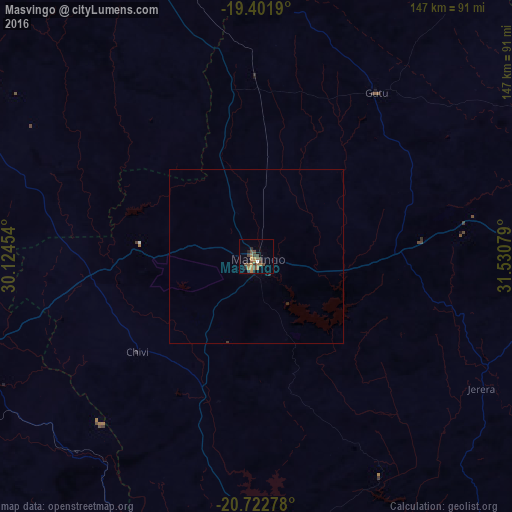
Analysis of Masvingo night lights 2016
Square area 10x10 km:
 0.2%
0.2%90-99
0.6%80-89
0%70-79
2.78%60-69
5.56%50-59
3.97%40-49
5.36%30-39
2.78%20-29
2.58%10-19
1.19%0-9
75%Square area 50x50 km:
0.01%90-99
0.02%80-89
0%70-79
0.11%60-69
0.23%50-59
0.16%40-49
0.22%30-39
0.13%20-29
0.17%10-19
0.05%0-9
98.9%Clear (daylight) street map image can be seen on geolist.org.
Map coordinates:
19° 24' 6.8" South, 30° 7' 28.3" East
20° 3' 49.4" South, 30° 49' 39.6" East
20° 43' 22" South, 31° 31' 50.8" East
Some cities around Masvingo sort by population:
• Gweru
125.9 km =78.2 mi,  302°
302°
• Kwekwe
165 km =102.5 mi,  319°
319°
• Zvishavane
84.6 km =52.6 mi,  249°
249°
• Redcliff
158.4 km =98.4 mi, 316°
• Chiredzi
140.2 km =87.1 mi,  141°
141°
• Shurugwi
96.4 km =59.9 mi, 296°
• Mashava
36.2 km =22.5 mi,  274°
274°
• Chivhu
116.1 km =72.1 mi,  3°
3°
886763 (p: 76,290)
Sources (retrieved 2019-11-25):
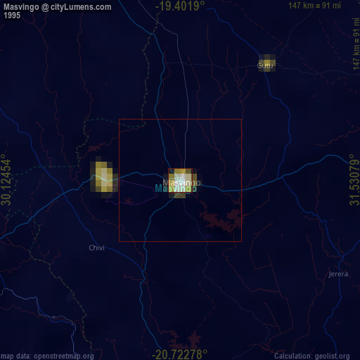
» NASA, Earths city lights 1995
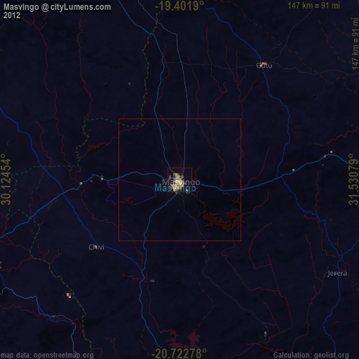
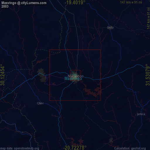
» NASA city lights 2003
» Earth at Night: Flat Maps 2012, 2016