Gwanda night lights from space
Night Light of Gwanda (Matabeleland South) from space (Zimbabwe) Src. Average luminocity for 10x10km area is 4.0575% and for 50x50km: 0.4836%.
Analysis of Gwanda night lights 2016
Square area 10x10 km:
 0%
0%90-99
0%80-89
1.98%70-79
1.19%60-69
0%50-59
0%40-49
1.19%30-39
0.6%20-29
0.6%10-19
0.79%0-9
93.65%Square area 50x50 km:
0%90-99
0%80-89
0.19%70-79
0.1%60-69
0%50-59
0.01%40-49
0.24%30-39
0.08%20-29
0.15%10-19
0.06%0-9
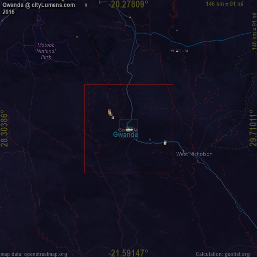
99.16%Clear (daylight) street map image can be seen on geolist.org.
Map coordinates:
20° 16' 41.1" South, 28° 18' 13.9" East
20° 56' 10.4" South, 29° 0' 25.1" East
21° 35' 29.3" South, 29° 42' 36.4" East
Some cities around Gwanda sort by population:
• Bulawayo
97.9 km =60.8 mi,  333°
333°
• Francistown, BW
157.7 km =98 mi,  260°
260°
• Selebi-Phikwe, BW
167.2 km =103.9 mi,  226°
226°
• Zvishavane
129.4 km =80.4 mi,  58°
58°
• Beitbridge
175.5 km =109.1 mi,  144°
144°
• Tonota, BW
169.8 km =105.5 mi,  250°
250°
• Shurugwi
175.1 km =108.8 mi,  36°
36°
• Inyati
141.2 km =87.7 mi,  353°
353°
890516 (p: 14,450)
Sources (retrieved 2019-11-25):
» Earth at Night: Flat Maps 2012, 2016