Gweru night lights from space
Night Light of Gweru (Midlands) from space (Zimbabwe) Src. Average luminocity for 10x10km area is 31.9463% and for 50x50km: 2.4396%.
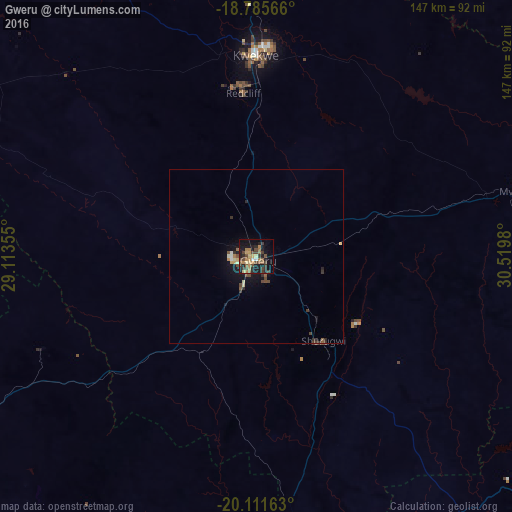
Analysis of Gweru night lights 2016
Square area 10x10 km:
 0.62%
0.62%90-99
1.03%80-89
5.17%70-79
6.61%60-69
7.64%50-59
3.51%40-49
10.95%30-39
6.4%20-29
8.68%10-19
26.03%0-9
23.35%Square area 50x50 km:
0.06%90-99
0.16%80-89
0.36%70-79
0.37%60-69
0.4%50-59
0.26%40-49
0.79%30-39
0.5%20-29
0.52%10-19
2.2%0-9
94.39%Clear (daylight) street map image can be seen on geolist.org.
Map coordinates:
18° 47' 8.4" South, 29° 6' 48.8" East
19° 27' 0" South, 29° 49' 0" East
20° 6' 41.9" South, 30° 31' 11.3" East
Some cities around Gweru sort by population:
• Kwekwe
58 km =36 mi,  359°
359°
• Kadoma
124.6 km =77.4 mi,  4°
4°
• Zvishavane
100.9 km =62.7 mi,  165°
165°
• Redcliff
46.5 km =28.9 mi, 355°
• Shurugwi
31.5 km =19.6 mi,  140°
140°
• Mashava
95.4 km =59.3 mi,  133°
133°
• Chivhu
122.6 km =76.2 mi,  67°
67°
• Inyati
104.7 km =65.1 mi,  256°
256°
890422 (p: 146,073)
Sources (retrieved 2019-11-25):
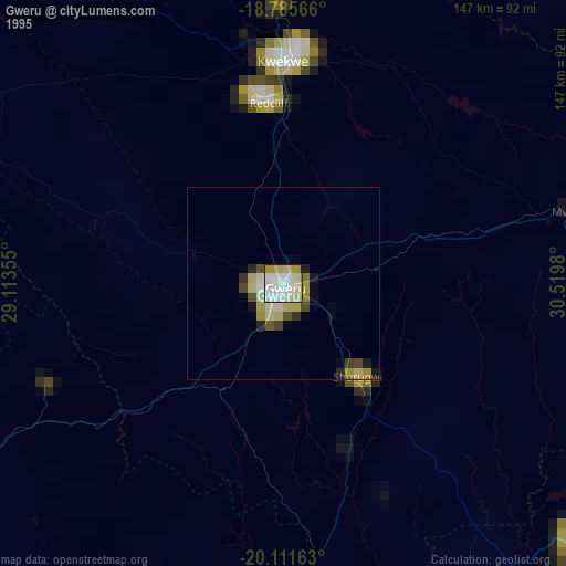
» NASA, Earths city lights 1995
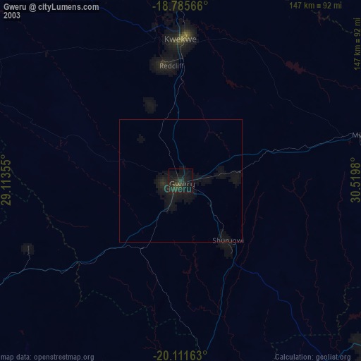
» NASA city lights 2003
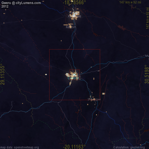
» Earth at Night: Flat Maps 2012, 2016