Bulawayo night lights from space
Night Light of Bulawayo from space (Zimbabwe) Src. Average luminocity for 10x10km area is 72.6171% and for 50x50km: 7.8076%.
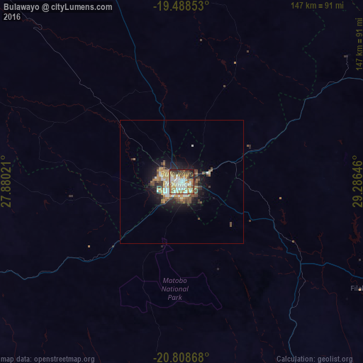
Analysis of Bulawayo night lights 2016
Square area 10x10 km:
 17.86%
90-99
19.05%80-89
7.54%70-79
12.9%60-69
13.69%50-59
7.54%40-49
8.13%30-39
4.56%20-29
6.94%10-19
1.79%0-9
0%Square area 50x50 km:
1.11%90-99
1.37%80-89
0.63%70-79
1.44%60-69
1.29%50-59
0.9%40-49
1.32%30-39
1.14%20-29
1.73%10-19
4.46%0-9
84.6%Clear (daylight) street map image can be seen on geolist.org.
Map coordinates:
19° 29' 18.7" South, 27° 52' 48.8" East
20° 9' 0" South, 28° 34' 60" East
20° 48' 31.2" South, 29° 17' 11.3" East
Some cities around Bulawayo sort by population:
• Gweru
150.7 km =93.6 mi,  58°
58°
• Francistown, BW
159.3 km =99 mi,  224°
224°
• Zvishavane
156 km =96.9 mi,  97°
97°
• Redcliff
176.7 km =109.8 mi,  45°
45°
• Shurugwi
158 km =98.2 mi,  70°
70°
• Gwanda
97.9 km =60.8 mi,  153°
153°
• Inyati
59.5 km =37 mi,  27°
27°
• Lupane
158 km =98.2 mi,  329°
329°
894701 (p: 699,385)
Sources (retrieved 2019-11-25):
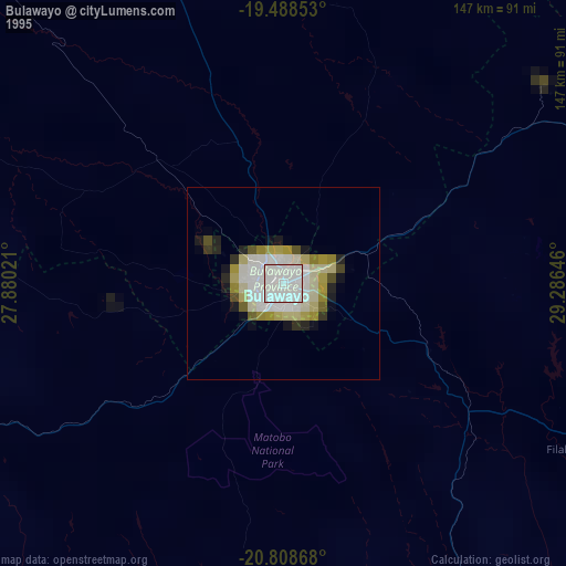
» NASA, Earths city lights 1995
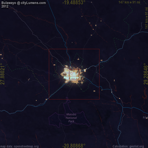
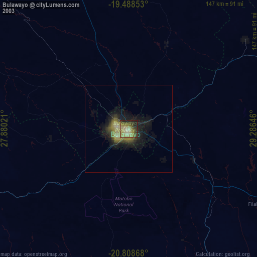
» NASA city lights 2003
» Earth at Night: Flat Maps 2012, 2016