Redcliff night lights from space
Night Light of Redcliff (Midlands) from space (Zimbabwe) Src. Average luminocity for 10x10km area is 9.5541% and for 50x50km: 2.2845%.
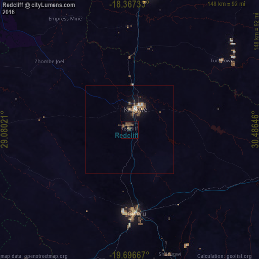
Analysis of Redcliff night lights 2016
Square area 10x10 km:
 0%
0%90-99
0%80-89
0%70-79
0%60-69
2.6%50-59
5.19%40-49
3.46%30-39
4.33%20-29
1.52%10-19
1.08%0-9
81.82%Square area 50x50 km:
0.16%90-99
0.2%80-89
0.11%70-79
0.13%60-69
0.43%50-59
0.62%40-49
0.61%30-39
0.5%20-29
0.34%10-19
1.86%0-9
95.03%Clear (daylight) street map image can be seen on geolist.org.
Map coordinates:
18° 22' 2.4" South, 29° 4' 48.8" East
19° 1' 60" South, 29° 46' 60" East
19° 41' 48" South, 30° 29' 11.3" East
Some cities around Redcliff sort by population:
• Gweru
46.5 km =28.9 mi,  175°
175°
• Kwekwe
12.2 km =7.6 mi,  15°
15°
• Kadoma
79.1 km =49.2 mi,  10°
10°
• Chegutu
107.3 km =66.7 mi, 20°
• Shurugwi
74.6 km =46.4 mi,  161°
161°
• Chivhu
116.6 km =72.5 mi,  89°
89°
• Inyati
121.5 km =75.5 mi,  233°
233°
• Chakari
108.5 km =67.4 mi, 6°
882599 (p: 33,197)
Sources (retrieved 2019-11-25):
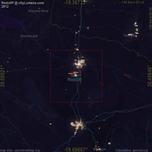
» Earth at Night: Flat Maps 2012, 2016