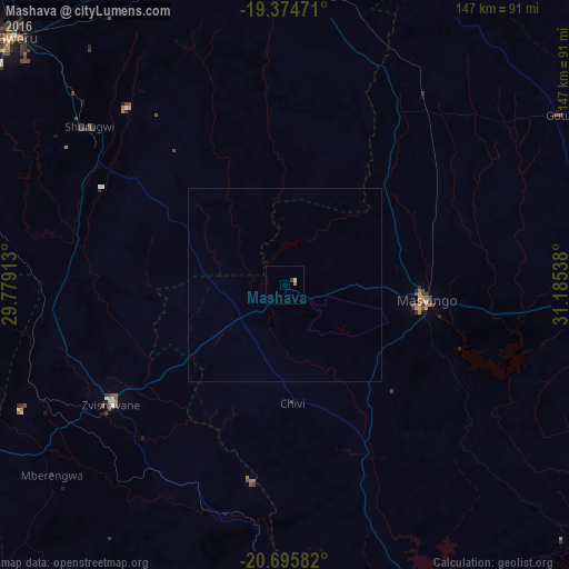
Mashava night lights from space
Night Light of Mashava (Masvingo) from space (Zimbabwe) Src. Average luminocity for 10x10km area is 1.8036% and for 50x50km: 0.0732%.
Analysis of Mashava night lights 2016
Square area 10x10 km:
 0.6%
0.6%90-99
0.2%80-89
0%70-79
0%60-69
0.79%50-59
0%40-49
0.2%30-39
0.6%20-29
0%10-19
0%0-9
97.62%Square area 50x50 km:
0.02%90-99
0.01%80-89
0%70-79
0%60-69
0.03%50-59
0%40-49
0.01%30-39
0.02%20-29
0%10-19
0%0-9
99.9%Clear (daylight) street map image can be seen on geolist.org.
Map coordinates:
19° 22' 29" South, 29° 46' 44.9" East
20° 2' 11.9" South, 30° 28' 56.1" East
20° 41' 45" South, 31° 11' 7.4" East
Some cities around Mashava sort by population:
• Gweru
95.4 km =59.3 mi,  313°
313°
• Kwekwe
141.7 km =88 mi,  330°
330°
• Masvingo
36.2 km =22.5 mi,  94°
94°
• Zvishavane
54.1 km =33.6 mi,  233°
233°
• Redcliff
133.5 km =83 mi, 326°
• Chiredzi
167 km =103.8 mi,  132°
132°
• Shurugwi
64.4 km =40 mi, 309°
• Chivhu
120.8 km =75.1 mi,  20°
20°
886864 (p: 12,994)
Sources (retrieved 2019-11-25):
» Earth at Night: Flat Maps 2012, 2016