Inyati night lights from space
Night Light of Inyati (Matabeleland North) from space (Zimbabwe) Src. Average luminocity for 10x10km area is 0.3285% and for 50x50km: 0.068%.
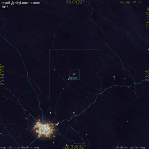
Analysis of Inyati night lights 2016
Square area 10x10 km:
 0%
0%90-99
0%80-89
0%70-79
0%60-69
0%50-59
0%40-49
0%30-39
0.83%20-29
0%10-19
0%0-9
99.17%Square area 50x50 km:
0%90-99
0%80-89
0%70-79
0%60-69
0.03%50-59
0%40-49
0.06%30-39
0.03%20-29
0%10-19
0%0-9
99.87%Clear (daylight) street map image can be seen on geolist.org.
Map coordinates:
19° 0' 43.9" South, 28° 8' 37.5" East
19° 40' 32.3" South, 28° 50' 48.7" East
20° 20' 10.8" South, 29° 33' 0" East
Some cities around Inyati sort by population:
• Bulawayo
59.5 km =37 mi,  207°
207°
• Gweru
104.7 km =65.1 mi,  76°
76°
• Kwekwe
131.3 km =81.6 mi,  50°
50°
• Zvishavane
146.6 km =91.1 mi,  119°
119°
• Redcliff
121.5 km =75.5 mi, 53°
• Shurugwi
121.4 km =75.4 mi,  89°
89°
• Gwanda
141.2 km =87.7 mi,  173°
173°
• Lupane
136.9 km =85.1 mi,  307°
307°
889723 (p: 8,402)
Sources (retrieved 2019-11-25):
» Earth at Night: Flat Maps 2012, 2016