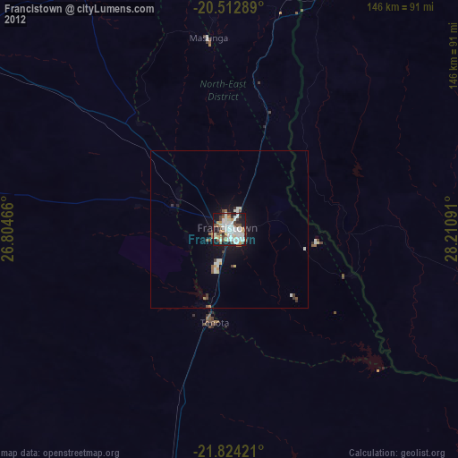
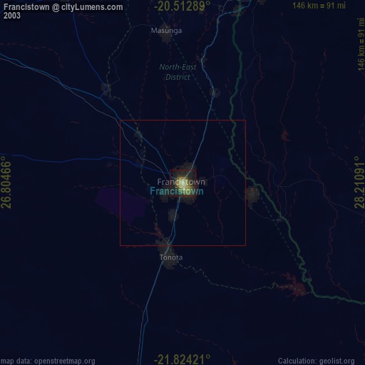
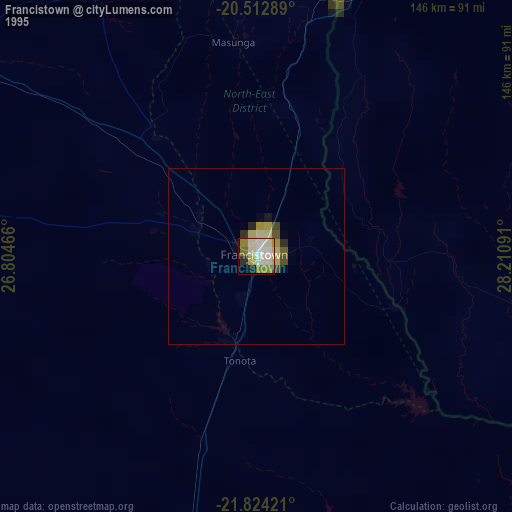
Francistown night lights from space
Night Light of Francistown (City of Francistown) from space (Botswana) Src. Average luminocity for 10x10km area is 60.875% and for 50x50km: 4.2735%.

Analysis of Francistown night lights 2016
Square area 10x10 km:
 17.26%
90-99
19.05%80-89
5.75%70-79
6.15%60-69
3.97%50-59
3.57%40-49
6.15%30-39
4.17%20-29
19.64%10-19
14.29%0-9
0%Square area 50x50 km:
0.75%90-99
0.89%80-89
0.51%70-79
0.35%60-69
0.22%50-59
0.22%40-49
0.54%30-39
0.46%20-29
1.34%10-19
3.76%0-9
90.94%Clear (daylight) street map image can be seen on geolist.org.
Map coordinates:
20° 30' 46.4" South, 26° 48' 16.8" East
21° 10' 12" South, 27° 30' 28" East
21° 49' 27.2" South, 28° 12' 39.3" East
Some cities around Francistown sort by population:
• Bulawayo, ZW
159.3 km =99 mi,  44°
44°
• Selebi-Phikwe
96.4 km =59.9 mi,  158°
158°
• Serowe
158.4 km =98.4 mi,  211°
211°
• Palapye
158 km =98.2 mi,  194°
194°
• Letlhakane
200.3 km =124.5 mi,  262°
262°
• Tonota
30.7 km =19.1 mi, 188°
• Gwanda, ZW
157.7 km =98 mi,  80°
80°
• Inyati, ZW
217 km =134.8 mi, 40°
933778 (p: 89,979)
Sources (retrieved 2019-11-25):
» NASA, Earths city lights 1995
» NASA city lights 2003
» Earth at Night: Flat Maps 2012, 2016