Beitbridge night lights from space
Night Light of Beitbridge (Matabeleland South) from space (Zimbabwe) Src. Average luminocity for 10x10km area is 25.5795% and for 50x50km: 2.5903%.
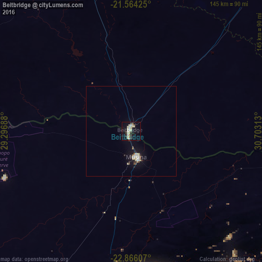
Analysis of Beitbridge night lights 2016
Square area 10x10 km:
 3.79%
3.79%90-99
5.68%80-89
7.2%70-79
0.76%60-69
1.33%50-59
0.95%40-49
1.7%30-39
2.46%20-29
3.6%10-19
25.38%0-9
47.16%Square area 50x50 km:
0.38%90-99
0.43%80-89
0.61%70-79
0.11%60-69
0.09%50-59
0.07%40-49
0.28%30-39
0.28%20-29
0.36%10-19
2.45%0-9
94.94%Clear (daylight) street map image can be seen on geolist.org.
Map coordinates:
21° 33' 51.3" South, 29° 17' 48.8" East
22° 13' 0" South, 30° 0' 0" East
22° 51' 57.9" South, 30° 42' 11.3" East
Some cities around Beitbridge sort by population:
• Louis Trichardt, ZA
92.5 km =57.5 mi,  186°
186°
• Thohoyandou, ZA
95.1 km =59.1 mi,  148°
148°
• Giyani, ZA
141.4 km =87.9 mi, 148°
• Duiwelskloof, ZA
164.8 km =102.4 mi,  175°
175°
• Tzaneen, ZA
180.5 km =112.2 mi,  174°
174°
• Gwanda
175.5 km =109.1 mi,  324°
324°
• Ga-Kgapane, ZA
160.3 km =99.6 mi, 171°
• Bochum, ZA
148.1 km =92 mi,  216°
216°
895269 (p: 26,459)
Sources (retrieved 2019-11-25):
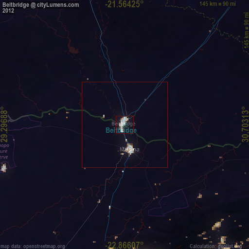
» Earth at Night: Flat Maps 2012, 2016