Selebi-Phikwe night lights from space
Night Light of Selebi-Phikwe (Selibe Phikwe) from space (Botswana) Src. Average luminocity for 10x10km area is 36.4425% and for 50x50km: 1.945%.
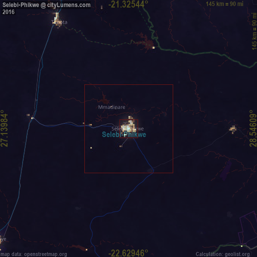

Analysis of Selebi-Phikwe night lights 2016
Square area 10x10 km:
 1.39%
1.39%90-99
5.36%80-89
15.67%70-79
2.78%60-69
3.37%50-59
1.59%40-49
7.74%30-39
1.98%20-29
5.16%10-19
39.09%0-9
15.87%Square area 50x50 km:
0.06%90-99
0.22%80-89
0.7%70-79
0.15%60-69
0.16%50-59
0.1%40-49
0.39%30-39
0.18%20-29
0.24%10-19
1.89%0-9
95.92%Clear (daylight) street map image can be seen on geolist.org.
Map coordinates:
21° 19' 31.6" South, 27° 8' 23.4" East
21° 58' 44.2" South, 27° 50' 34.7" East
22° 37' 46.1" South, 28° 32' 45.9" East
Some cities around Selebi-Phikwe sort by population:
• Bulawayo, ZW
217.4 km =135.1 mi,  20°
20°
• Francistown
96.4 km =59.9 mi,  338°
338°
• Serowe
125.1 km =77.7 mi,  248°
248°
• Mahalapye
163.7 km =101.7 mi,  220°
220°
• Palapye
97.1 km =60.3 mi,  229°
229°
• Tonota
71.5 km =44.4 mi,  326°
326°
• Gwanda, ZW
167.2 km =103.9 mi,  46°
46°
• Bochum, ZA
197.1 km =122.5 mi,  137°
137°
933099 (p: 53,727)
Sources (retrieved 2019-11-25):
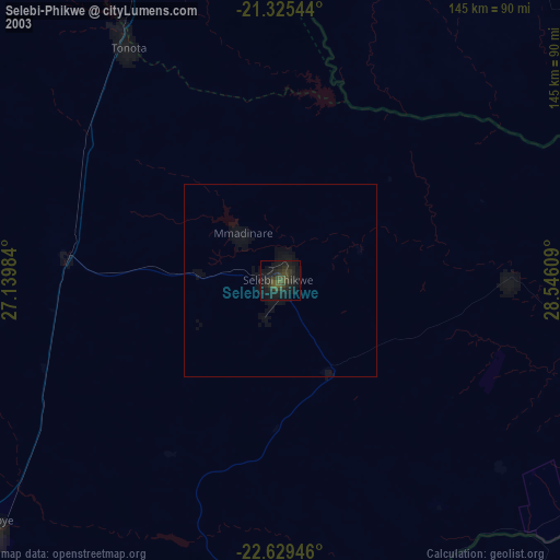
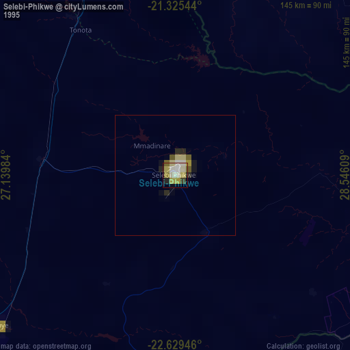
» NASA, Earths city lights 1995
» NASA city lights 2003
» Earth at Night: Flat Maps 2012, 2016