Thohoyandou night lights from space
Night Light of Thohoyandou (Limpopo) from space (South Africa) Src. Average luminocity for 10x10km area is 59.2758% and for 50x50km: 13.7943%.
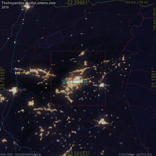
Analysis of Thohoyandou night lights 2016
Square area 10x10 km:
 4.37%
4.37%90-99
10.32%80-89
25.6%70-79
6.75%60-69
2.58%50-59
7.94%40-49
7.34%30-39
8.73%20-29
23.81%10-19
2.58%0-9
0%Square area 50x50 km:
0.25%90-99
0.67%80-89
3.63%70-79
2.15%60-69
1.38%50-59
2.49%40-49
2.9%30-39
2.99%20-29
4.43%10-19
8.76%0-9
70.35%Clear (daylight) street map image can be seen on geolist.org.
Map coordinates:
22° 17' 47.8" South, 29° 46' 54.7" East
22° 56' 44.3" South, 30° 29' 5.9" East
23° 35' 29.7" South, 31° 11' 17.2" East
Some cities around Thohoyandou sort by population:
• Louis Trichardt
60.5 km =37.6 mi,  259°
259°
• Giyani
46.3 km =28.8 mi,  148°
148°
• Nkowakowa
106.7 km =66.3 mi,  190°
190°
• Beitbridge, ZW
95.1 km =59.1 mi,  328°
328°
• Duiwelskloof
90.3 km =56.1 mi,  202°
202°
• Tzaneen
104 km =64.6 mi, 198°
• Ga-Kgapane
82.1 km =51 mi, 199°
• Mankoeng
126.1 km =78.4 mi,  212°
212°
949224 (p: 44,046)
Sources (retrieved 2019-11-25):
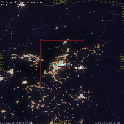
» Earth at Night: Flat Maps 2012, 2016