Giyani night lights from space
Night Light of Giyani (Limpopo) from space (South Africa) Src. Average luminocity for 10x10km area is 30.4848% and for 50x50km: 2.5734%.
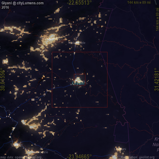
Analysis of Giyani night lights 2016
Square area 10x10 km:
 2.46%
2.46%90-99
3.6%80-89
10.42%70-79
3.03%60-69
3.03%50-59
3.22%40-49
2.84%30-39
3.22%20-29
3.79%10-19
37.5%0-9
26.89%Square area 50x50 km:
0.1%90-99
0.15%80-89
0.46%70-79
0.14%60-69
0.27%50-59
0.43%40-49
0.64%30-39
0.82%20-29
0.64%10-19
2.36%0-9
93.99%Clear (daylight) street map image can be seen on geolist.org.
Map coordinates:
22° 39' 18.5" South, 30° 0' 56" East
23° 18' 8.9" South, 30° 43' 7.2" East
23° 56' 47.9" South, 31° 25' 18.5" East
Some cities around Giyani sort by population:
• Phalaborwa
83.2 km =51.7 mi,  148°
148°
• Louis Trichardt
88.2 km =54.8 mi,  289°
289°
• Thohoyandou
46.3 km =28.8 mi,  328°
328°
• Nkowakowa
78.6 km =48.8 mi,  214°
214°
• Duiwelskloof
73.3 km =45.5 mi,  233°
233°
• Tzaneen
81.8 km =50.8 mi,  223°
223°
• Ga-Kgapane
63.2 km =39.3 mi, 233°
• Mankoeng
113.4 km =70.5 mi, 234°
1001860 (p: 37,024)
Sources (retrieved 2019-11-25):
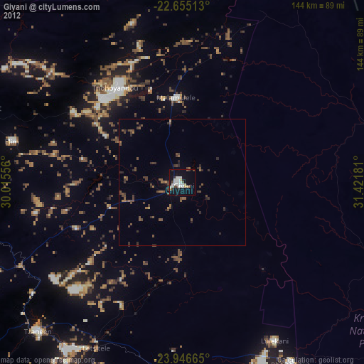
» Earth at Night: Flat Maps 2012, 2016