Duiwelskloof night lights from space
Night Light of Duiwelskloof (Limpopo) from space (South Africa) Src. Average luminocity for 10x10km area is 5.9345% and for 50x50km: 9.1924%.
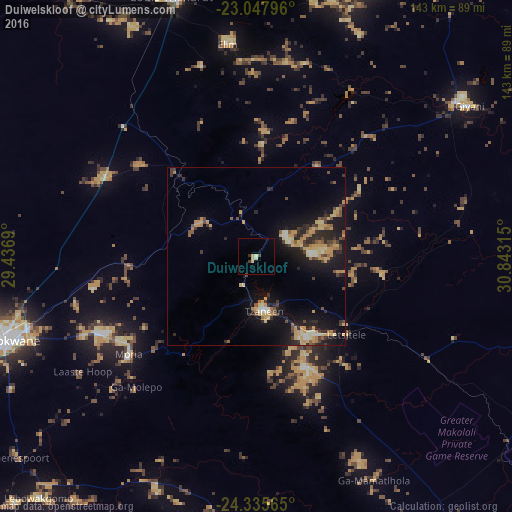
Analysis of Duiwelskloof night lights 2016
Square area 10x10 km:
 0%
0%90-99
0.79%80-89
3.17%70-79
0%60-69
0%50-59
0%40-49
1.39%30-39
0.79%20-29
0.2%10-19
0%0-9
93.65%Square area 50x50 km:
0.32%90-99
0.72%80-89
1.85%70-79
2.28%60-69
0.88%50-59
0.97%40-49
1.32%30-39
1.44%20-29
2.7%10-19
8.24%0-9
79.28%Clear (daylight) street map image can be seen on geolist.org.
Map coordinates:
23° 2' 52.7" South, 29° 26' 12.8" East
23° 41' 36.2" South, 30° 8' 24.1" East
24° 20' 8.3" South, 30° 50' 35.3" East
Some cities around Duiwelskloof sort by population:
• Polokwane
72.2 km =44.9 mi,  251°
251°
• Louis Trichardt
76.2 km =47.3 mi,  341°
341°
• Giyani
73.3 km =45.5 mi,  53°
53°
• Lebowakgomo
86 km =53.4 mi,  229°
229°
• Nkowakowa
26.3 km =16.3 mi,  145°
145°
• Tzaneen
15.7 km =9.8 mi,  171°
171°
• Ga-Kgapane
10.1 km =6.3 mi,  56°
56°
• Mankoeng
40.1 km =24.9 mi,  235°
235°
1007514 (p: 24,572)
Sources (retrieved 2019-11-25):
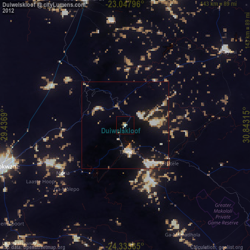
» Earth at Night: Flat Maps 2012, 2016