Samfya night lights from space
Night Light of Samfya (Luapula) from space (Zambia) Src. Average luminocity for 10x10km area is 6.4848% and for 50x50km: 0.2773%.
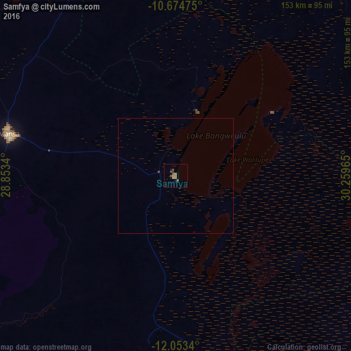
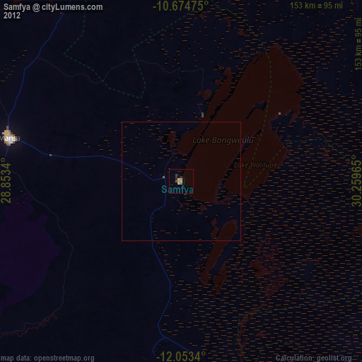
Analysis of Samfya night lights 2016
Square area 10x10 km:
 0%
0%90-99
0%80-89
0%70-79
0.22%60-69
3.25%50-59
3.25%40-49
1.95%30-39
0.87%20-29
0.22%10-19
2.38%0-9
87.88%Square area 50x50 km:
0%90-99
0%80-89
0%70-79
0.01%60-69
0.13%50-59
0.13%40-49
0.11%30-39
0.03%20-29
0.01%10-19
0.09%0-9
99.49%Clear (daylight) street map image can be seen on geolist.org.
Map coordinates:
10° 40' 29.1" South, 28° 51' 12.2" East
11° 21' 53.7" South, 29° 33' 23.5" East
12° 3' 12.2" South, 30° 15' 34.7" East
Some cities around Samfya sort by population:
• Ndola
203.5 km =126.4 mi,  209°
209°
• Mufulira
194.5 km =120.9 mi,  227°
227°
• Mansa
74.5 km =46.3 mi,  284°
284°
• Mpika
213 km =132.4 mi,  104°
104°
• Kawambwa
182.6 km =113.5 mi,  343°
343°
• Kataba
62.7 km =39 mi,  156°
156°
• Chambishi
215.8 km =134.1 mi, 229°
• Luwingu
129.1 km =80.2 mi,  18°
18°
899274 (p: 20,470)
Sources (retrieved 2019-11-25):
» Earth at Night: Flat Maps 2012, 2016