Mpika night lights from space
Night Light of Mpika (Muchinga) from space (Zambia) Src. Average luminocity for 10x10km area is 17.4959% and for 50x50km: 1.0144%.
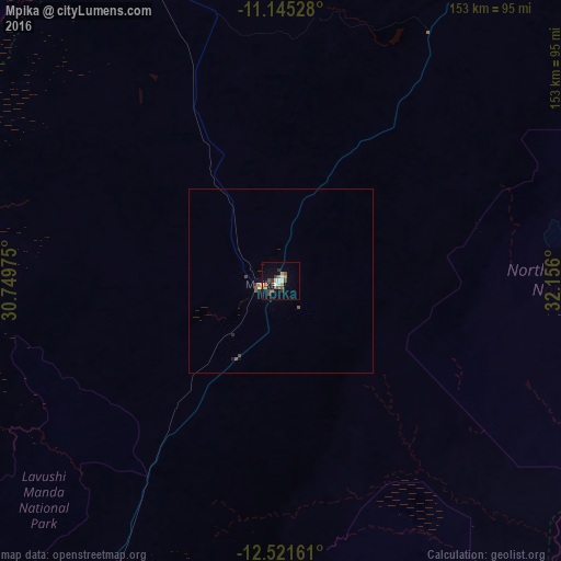
Analysis of Mpika night lights 2016
Square area 10x10 km:
 1.45%
1.45%90-99
3.51%80-89
0%70-79
2.07%60-69
1.65%50-59
4.96%40-49
4.55%30-39
3.72%20-29
0.41%10-19
5.58%0-9
72.11%Square area 50x50 km:
0.06%90-99
0.14%80-89
0%70-79
0.14%60-69
0.11%50-59
0.34%40-49
0.24%30-39
0.19%20-29
0.06%10-19
0.27%0-9
98.44%Clear (daylight) street map image can be seen on geolist.org.
Map coordinates:
11° 8' 43" South, 30° 44' 59.1" East
11° 50' 3.5" South, 31° 27' 10.3" East
12° 31' 17.8" South, 32° 9' 21.6" East
Some cities around Mpika sort by population:
• Kasama
182.7 km =113.5 mi,  350°
350°
• Samfya
213 km =132.4 mi,  284°
284°
• Chinsali
159.3 km =99 mi,  25°
25°
• Kataba
181.8 km =113 mi,  268°
268°
• Isoka
226.4 km =140.7 mi, 34°
• Lundazi
194.4 km =120.8 mi,  105°
105°
• Serenje
204 km =126.8 mi,  220°
220°
• Mungwi
184.9 km =114.9 mi,  357°
357°
905846 (p: 28,445)
Sources (retrieved 2019-11-25):
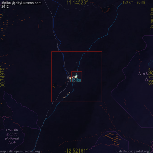
» Earth at Night: Flat Maps 2012, 2016