Kataba night lights from space
Night Light of Kataba (Copperbelt) from space (Zambia) Src. Average luminocity for 10x10km area is 0% and for 50x50km: 0%.
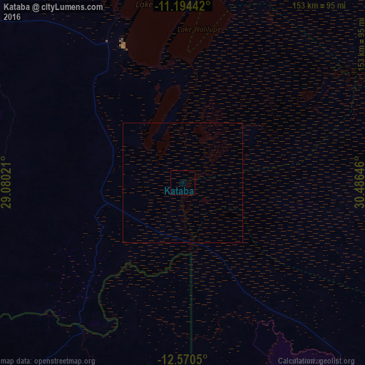
Analysis of Kataba night lights 2016
Square area 10x10 km:
 0%
0%90-99
0%80-89
0%70-79
0%60-69
0%50-59
0%40-49
0%30-39
0%20-29
0%10-19
0%0-9
100%Square area 50x50 km:
0%90-99
0%80-89
0%70-79
0%60-69
0%50-59
0%40-49
0%30-39
0%20-29
0%10-19
0%0-9
100%Clear (daylight) street map image can be seen on geolist.org.
Map coordinates:
11° 11' 39.9" South, 29° 4' 48.8" East
11° 52' 60" South, 29° 46' 60" East
12° 34' 13.8" South, 30° 29' 11.3" East
Some cities around Kataba sort by population:
• Ndola
172.6 km =107.2 mi,  226°
226°
• Mufulira
183.3 km =113.9 mi,  246°
246°
• Mansa
123.1 km =76.5 mi,  308°
308°
• Mpika
181.8 km =113 mi,  88°
88°
• Samfya
62.7 km =39 mi,  336°
336°
• Mkushi
197.7 km =122.8 mi,  192°
192°
• Serenje
157.8 km =98.1 mi,  161°
161°
• Luwingu
180.9 km =112.4 mi,  4°
4°
912226 (p: 14,000)
Sources (retrieved 2019-11-25):
» Earth at Night: Flat Maps 2012, 2016