Kawambwa night lights from space
Night Light of Kawambwa (Luapula) from space (Zambia) Src. Average luminocity for 10x10km area is 4.7641% and for 50x50km: 0.1937%.
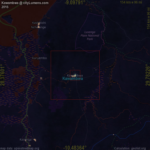
Analysis of Kawambwa night lights 2016
Square area 10x10 km:
 0%
0%90-99
0%80-89
0%70-79
0.87%60-69
0.43%50-59
3.9%40-49
1.73%30-39
0.87%20-29
0.87%10-19
0%0-9
91.34%Square area 50x50 km:
0%90-99
0%80-89
0%70-79
0.03%60-69
0.02%50-59
0.15%40-49
0.07%30-39
0.03%20-29
0.07%10-19
0%0-9
99.63%Clear (daylight) street map image can be seen on geolist.org.
Map coordinates:
9° 5' 52.5" South, 28° 22' 33.6" East
9° 47' 29.4" South, 29° 4' 44.9" East
10° 29' 1.1" South, 29° 46' 56.1" East
Some cities around Kawambwa sort by population:
• Kasama
234.9 km =146 mi,  101°
101°
• Mansa
157.9 km =98.1 mi,  187°
187°
• Nchelenge
62.4 km =38.8 mi,  322°
322°
• Samfya
182.6 km =113.5 mi,  163°
163°
• Kataba
245 km =152.2 mi, 161°
• Mpulungu
250.9 km =155.9 mi,  62°
62°
• Mungwi
254.4 km =158.1 mi, 99°
• Luwingu
106.6 km =66.2 mi,  119°
119°
176555 (p: 20,589)
Sources (retrieved 2019-11-25):
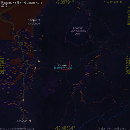
» Earth at Night: Flat Maps 2012, 2016