Mansa night lights from space
Night Light of Mansa (Luapula) from space (Zambia) Src. Average luminocity for 10x10km area is 31.0195% and for 50x50km: 1.3966%.
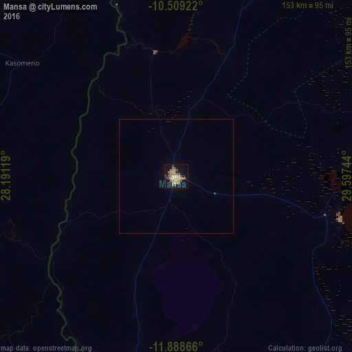
Analysis of Mansa night lights 2016
Square area 10x10 km:
 0.43%
0.43%90-99
1.3%80-89
6.49%70-79
8.66%60-69
7.79%50-59
4.98%40-49
6.93%30-39
0.87%20-29
3.9%10-19
25.76%0-9
32.9%Square area 50x50 km:
0.02%90-99
0.05%80-89
0.25%70-79
0.34%60-69
0.31%50-59
0.2%40-49
0.31%30-39
0.03%20-29
0.15%10-19
1.04%0-9
97.31%Clear (daylight) street map image can be seen on geolist.org.
Map coordinates:
10° 30' 33.2" South, 28° 11' 28.3" East
11° 11' 59.1" South, 28° 53' 39.5" East
11° 53' 19.2" South, 29° 35' 50.8" East
Some cities around Mansa sort by population:
• Lubumbashi, CD
162.5 km =101 mi,  251°
251°
• Mufulira
166.1 km =103.2 mi,  205°
205°
• Chililabombwe
174.3 km =108.3 mi,  221°
221°
• Kawambwa
157.9 km =98.1 mi,  7°
7°
• Samfya
74.5 km =46.3 mi,  104°
104°
• Kataba
123.1 km =76.5 mi,  128°
128°
• Chambishi
183.7 km =114.1 mi, 209°
• Luwingu
153.6 km =95.4 mi,  47°
47°
907770 (p: 42,277)
Sources (retrieved 2019-11-25):
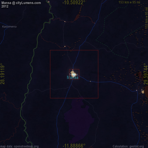
» Earth at Night: Flat Maps 2012, 2016