Luwingu night lights from space
Night Light of Luwingu (Northern) from space (Zambia) Src. Average luminocity for 10x10km area is 3.8409% and for 50x50km: 0.1578%.
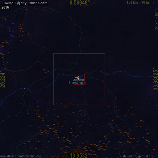
Analysis of Luwingu night lights 2016
Square area 10x10 km:
 0%
0%90-99
0%80-89
0%70-79
0.62%60-69
1.03%50-59
1.86%40-49
3.1%30-39
0%20-29
0%10-19
0%0-9
93.39%Square area 50x50 km:
0%90-99
0%80-89
0%70-79
0.03%60-69
0.04%50-59
0.08%40-49
0.13%30-39
0%20-29
0%10-19
0%0-9
99.73%Clear (daylight) street map image can be seen on geolist.org.
Map coordinates:
9° 34' 10.1" South, 29° 13' 26.4" East
10° 15' 43.6" South, 29° 55' 37.6" East
10° 57' 11.5" South, 30° 37' 48.9" East
Some cities around Luwingu sort by population:
• Kasama
137.3 km =85.3 mi,  87°
87°
• Mansa
153.6 km =95.4 mi,  227°
227°
• Nchelenge
165.8 km =103 mi,  307°
307°
• Kawambwa
106.6 km =66.2 mi,  299°
299°
• Samfya
129.1 km =80.2 mi,  198°
198°
• Kataba
180.9 km =112.4 mi,  184°
184°
• Mpulungu
211.5 km =131.4 mi,  37°
37°
• Mungwi
158.1 km =98.2 mi, 86°
908913 (p: 6,161)
Sources (retrieved 2019-11-25):
» Earth at Night: Flat Maps 2012, 2016